


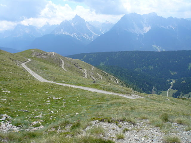
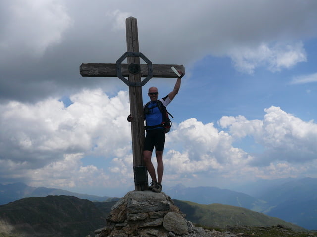
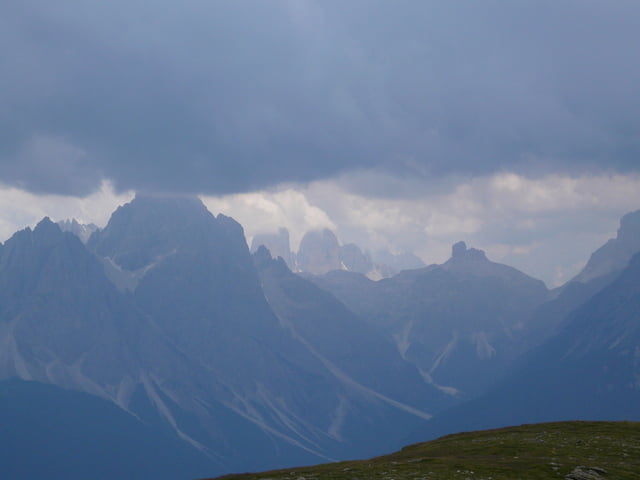
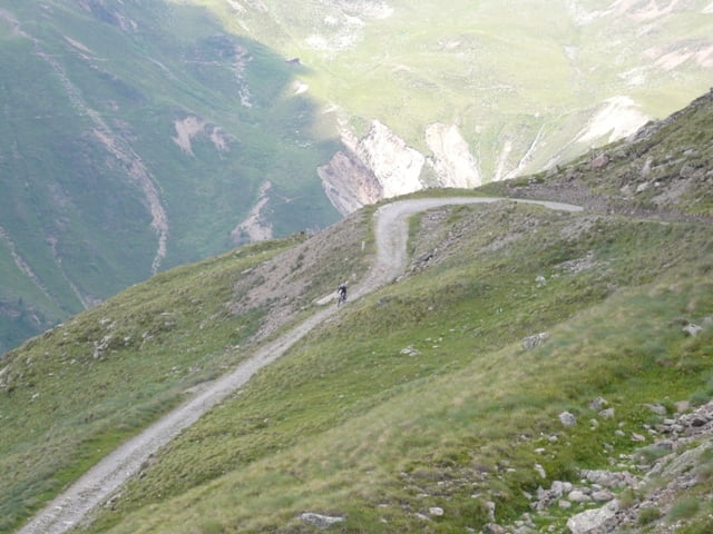
Sehr schöne aber auch anstrengende Auffahrt zum Strickberg. Start ist in der Nähe der Kirche im Ortszentrum von Toblach.Die Tour führt erst noch recht entspannt zur Sylvesteralm im Sylvestertal auf 1800m. Danach noch ein gut locker fahrbares Stück, bevor es dann mit guten 8-10% Steigung über schottrige Serpentinen hinauf zum Gipfelkreuz auf 2500m geht. Wenn möglich, sollte man an sehr warmen Tagen versuchen an der Sylvesteralm seine Trinkflasche nach zu füllen (soweit dieses dort möglich ist?!, da wir dort nicht gestoppt hatten), oder genügend beim Start dabei haben. Den nächsten Brunnen nach der Sylvesteralm gibts erst auf 2260m, zumindest hab ich sonst keine zwischen durch gesehen. Alles in allem eine sehr schöne Tour, die oben mit echt Wunderschönen Panorama aufwarten kann, wenn das Wetter stimmt.Wir hatten leider nicht so ein Glück, wegen aufziehenden Gewitter.
Tour gallery
Tour map and elevation profile
Minimum height 1186 m
Maximum height 2527 m
More about the tour author
|
|
deAnde |
Comments

GPS tracks
Trackpoints-
GPX / Garmin Map Source (gpx) download
-
TCX / Garmin Training Center® (tcx) download
-
CRS / Garmin Training Center® (crs) download
-
Google Earth (kml) download
-
G7ToWin (g7t) download
-
TTQV (trk) download
-
Overlay (ovl) download
-
Fugawi (txt) download
-
Kompass (DAV) Track (tk) download
-
Track data sheet (pdf) download
-
Original file of the author (gpx) download
More about the tour author
|
|
deAnde |
Add to my favorites
Remove from my favorites
Edit tags
Open track
My score
Rate