


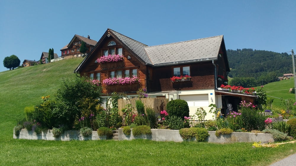
Wir haben an sehr vielen Stellen wunderschöne Ausblicke auf unsere herrliche Landschaft um uns herum - das muss man einfach nur geniessen - vielleicht bei einer Vesper!
Diese Tour beginnt und endet am Parkplatz vom Sportplatz in Dettingen / Kellmünz / Tennisheim /
Aus meinem Tagebuch:
Sehenswert:
http://de.wikipedia.org/wiki/Schönebürg
http://de.wikipedia.org/wiki/Gutenzell-Hürbel
http://de.wikipedia.org/wiki/Edenbachen
Einkehrmöglichkeit:
Fahrbahnbelag:
Wetterbedingungen:
Schlußworte:
Landkarten:Radtechnik: Trekking : BULLS PRO 9.8 XT / MTB: TREK8000
GPS: Garmin Etrex Vista HCX
Redaktionell überarbeitet:
Statistik: Views: Downloads: Datum:
Further information at
http://www.schenie.deTour gallery
Tour map and elevation profile
Minimum height 99999 m
Maximum height -99999 m
More about the tour author
|
|
schenie |
Comments

Wir starten in Dettingen an der Schulturnhalle.
Diese Tour beginnt und endet am Parkplatz vom Sportplatz in Dettingen / Kellmünz / Tennisheim /
Aus meinem Tagebuch:
Sehenswert:
Einkehrmöglichkeit:
Fahrbahnbelag:
Wetterbedingungen:
Schlußworte:
Landkarten:Radtechnik: Trekking : BULLS PRO 9.8 XT / MTB: TREK8000
GPS: Garmin Etrex Vista HCX
Redaktionell überarbeitet:
Statistik: Views: Downloads: Datum:
GPS tracks
Trackpoints-
GPX / Garmin Map Source (gpx) download
-
TCX / Garmin Training Center® (tcx) download
-
CRS / Garmin Training Center® (crs) download
-
Google Earth (kml) download
-
G7ToWin (g7t) download
-
TTQV (trk) download
-
Overlay (ovl) download
-
Fugawi (txt) download
-
Kompass (DAV) Track (tk) download
-
Track data sheet (pdf) download
-
Original file of the author (gpx) download
More about the tour author
|
|
schenie |
Add to my favorites
Remove from my favorites
Edit tags
Open track
My score
Rate