


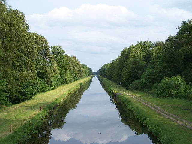
Diese kleine Wanderung ist ideal um hier seinen Gedanken nachzusinnen. Entspannt gehts am Wasser entlang. Rechts große Alleebäume und links ein, zumindest bei mir, ein leerer Kanal. Die Brücke ist schon lange zu sehen bevor sie erreicht wird.
Die Brücke selber ist schön und man hat von oben eine schöne Aussicht.
Der kleine Weg nach Norden (ca. 700 m) war bei mir gerade frisch aufbereitet. Leider sehr weich und teilweise sumpfig. Zurück nach Banzkow geht es durch einen schönen Wald.
Hier braucht man keine Steigung erwarten. Aber ruhige Waldstimmung.
Tour gallery
Tour map and elevation profile
Minimum height 20 m
Maximum height 47 m
More about the tour author
|
|
Pheinz |
Comments

Am besten man parkt bei der Kirche. Dann geht es los
GPS tracks
Trackpoints-
GPX / Garmin Map Source (gpx) download
-
TCX / Garmin Training Center® (tcx) download
-
CRS / Garmin Training Center® (crs) download
-
Google Earth (kml) download
-
G7ToWin (g7t) download
-
TTQV (trk) download
-
Overlay (ovl) download
-
Fugawi (txt) download
-
Kompass (DAV) Track (tk) download
-
Track data sheet (pdf) download
-
Original file of the author (gpx) download
More about the tour author
|
|
Pheinz |
Add to my favorites
Remove from my favorites
Edit tags
Open track
My score
Rate