
")

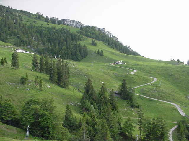
Irgendwo von Bernau aus ein kurzer, mäßig steiler Anstieg zur Seiseralm.
Ab da auf öffentlichen Strassen nach Hintergschwendt, wo die Wanderer parken und auf 850hm sich den Weg verkürzen wollen.
Achtung, ab hier kann es an schönen Wochenendtagen eng werden. Jedoch geht nun eine immer breite Forststrasse, an den zwei steilen Stellen sogar geteert, bergauf.
Die Gorialm (Dienstags Bikertreff) ist ein lohnendes Ziel für eine kurze Fahrt, ansonsten weiter zur Steinlingalm (liegt auf 1440hm) - siehe Kampenwand - von Bernau über Rottau/ Gedererwand/ Steinlingalm/ Bergstation (Trial).
Further information at
http://www.martin-blum.de/bikeTour gallery
Tour map and elevation profile
Minimum height 531 m
Maximum height 1269 m
More about the tour author
|
|
martin.blum |
Comments
A8 München - Salzburg, Ausfahrt Bernau.
In Bernau geradeaus über die Kreuzung mit Ampel. Ca. 100m danach rechts und links entlang der Strasse viele Parkplätze.
GPS tracks
Trackpoints-
GPX / Garmin Map Source (gpx) download
-
TCX / Garmin Training Center® (tcx) download
-
CRS / Garmin Training Center® (crs) download
-
Google Earth (kml) download
-
G7ToWin (g7t) download
-
TTQV (trk) download
-
Overlay (ovl) download
-
Fugawi (txt) download
-
Kompass (DAV) Track (tk) download
-
Track data sheet (pdf) download
-
Original file of the author (gpx) download
More about the tour author
|
|
martin.blum |
Add to my favorites
Remove from my favorites
Edit tags
Open track
My score
Rate
Ein Traum