Login

Forgot your login?

Cookies have to be accepted!
Your browser's cookie functionality is disabled. Please enable this functionality.

Not a member yet?

Register now
Login

Available for registred users only

Log in to use this feature.

Forgot your login?

Cookies have to be accepted!
Your browser's cookie functionality is disabled. Please enable this functionality.

Not a member yet?

Register now
Filter
Categories
Advanced filters
  • Distance (km)
  • Height
Save filters Reset filter

TrackRank

QRCode

Technical data

Distance42,4 km Height1072 m Way down842 m Duration02:15 h:m Date15.06.2009
Scores Author User Landscape Fun factor Fitness Technique

Statistics

317 Views 1 Score 37 Downloads 3.00 Average
Rate
  • Track data sheet
  • Directions
  • Downloads

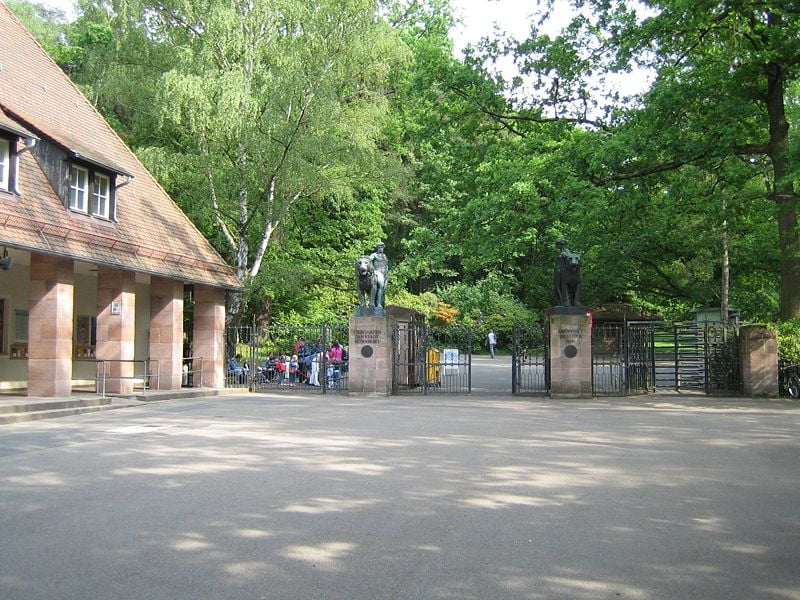
Sehr schöne Tour zum Zoo Nbg. und zurück auf dem Anton-Leidinger Weg.

Lauf- Röthenbach- Renzenhof- Birkensee- Richtung Valzner Weiher- Zoo Nbg.

Wnderweg blauer Balken folgen- Brunn- Birkensee- Lauf

Tour map and elevation profile

  • Open Street Map
  • Google
Minimum height 103 m Maximum height 454 m Detailed view

More about the tour author

kapitaen55
Member since 2008

Send private message

Comments

GPS tracks

Trackpoints
  • GPX / Garmin Map Source (gpx) download
  • TCX / Garmin Training Center® (tcx) download
  • CRS / Garmin Training Center® (crs) download
  • Google Earth (kml) download
  • G7ToWin (g7t) download
  • TTQV (trk) download
  • Overlay (ovl) download
  • Fugawi (txt) download
  • Kompass (DAV) Track (tk) download
  • Track data sheet (pdf) download
  • Original file of the author (gpx) download

More about the tour author

kapitaen55
Member since 2008

Send private message
Share track
Add to my favorites
Remove from my favorites
Edit tags
My score
Rate
Track: Lauf- Zoo Nbg
Type: Mountain bike
Distance: 42,4 km
Evaluated on:
Duration:
Day(s)
Hour(s)
Minute(s)
Score: Landscape Fun factor Fitness Technique