
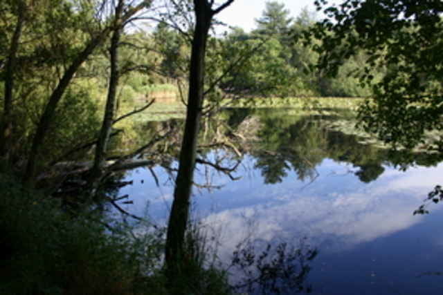

Eine familientaugliche Radtour die in den Wohngebieten Cuxhavens startet und schnell durch grüne Wiesen das Reiterdorf Holte Spangen erreicht. Von dort geht bergauf nach Altenwalde über den ehemaligen Truppenübungsplatz, vorbei an der Schießanlage bis nach Arensch und dort direkt zum Melkhus. Hier können orginelle Milcherfrischungen gekauft werden. Über Sahlenburg (Grillplatz) und Duhnen wieder zurück.
Further information at
http://www.mietrad.deTour map and elevation profile
Minimum height -26 m
Maximum height 69 m
More about the tour author

|
mietrad |
Comments

tmp2
on 18.09.2008
Tolle Tour, vielen Dank fürs Eintragen!
A27 Abfahrt Altenwalde, immer der Ausschilderung Döse/ Duhnen folgen. Rechts in den Kreutzweg und gleich wieder rechts in die Steinmarner Straße einbiegen Hier ist der Start vor Hausnummer 23.
GPS tracks
Trackpoints-
GPX / Garmin Map Source (gpx) download
-
TCX / Garmin Training Center® (tcx) download
-
CRS / Garmin Training Center® (crs) download
-
Google Earth (kml) download
-
G7ToWin (g7t) download
-
TTQV (trk) download
-
Overlay (ovl) download
-
Fugawi (txt) download
-
Kompass (DAV) Track (tk) download
-
Track data sheet (pdf) download
-
Original file of the author (g7t) download
More about the tour author
|
|
mietrad |
Add to my favorites
Remove from my favorites
Edit tags
Open track
My score
Rate