Login

Forgot your login?

Cookies have to be accepted!
Your browser's cookie functionality is disabled. Please enable this functionality.

Not a member yet?

Register now
Login

Available for registred users only

Log in to use this feature.

Forgot your login?

Cookies have to be accepted!
Your browser's cookie functionality is disabled. Please enable this functionality.

Not a member yet?

Register now
Filter
Categories
Advanced filters
  • Distance (km)
  • Height
Save filters Reset filter

TrackRank

QRCode

Technical data

Distance78,1 km Height851 m Way down851 m Duration03:30 h:m Date20.06.2009
Scores Author Landscape Fun factor Fitness Technique

Statistics

1021 Views Scores 95 Downloads Average
Rate
  • Track data sheet
  • Directions
  • Downloads
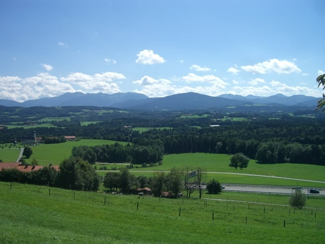
Von Glonn über Großhelfendorf - Sollach - Fentbach - Bruck - Grossseeham zum Seehammer See. Weiter über Kleinpienzenau (hier kurzes Stück auf stark befahrener B472; nachträglich gekürzt - ohne Garantie). Dann über Neukirchen - Feldolling an der Mangfall entlang nach Bruckmühl. Über Unterholzham - Thal - Weiterskirchen zurück nach Glonn. Je nach Wetter - Tag mehr oder weniger Verkehr aber nur kleines Stück auf größeren Bundesstraßen (s.o.).

Tour map and elevation profile

  • Open Street Map
  • Google
Minimum height 506 m Maximum height 775 m Detailed view

More about the tour author

benm
Member since 2008

Send private message

Comments

GPS tracks

Trackpoints
  • GPX / Garmin Map Source (gpx) download
  • TCX / Garmin Training Center® (tcx) download
  • CRS / Garmin Training Center® (crs) download
  • Google Earth (kml) download
  • G7ToWin (g7t) download
  • TTQV (trk) download
  • Overlay (ovl) download
  • Fugawi (txt) download
  • Kompass (DAV) Track (tk) download
  • Track data sheet (pdf) download
  • Original file of the author (gpx) download

More about the tour author

benm
Member since 2008

Send private message
Share track
Add to my favorites
Remove from my favorites
Edit tags
My score
Rate
Track: Glonn- Seehammer See - Mangfall - Thal - Glonn
Type: Road biking
Distance: 78,1 km
Evaluated on:
Duration:
Day(s)
Hour(s)
Minute(s)
Score: Landscape Fun factor Fitness Technique