


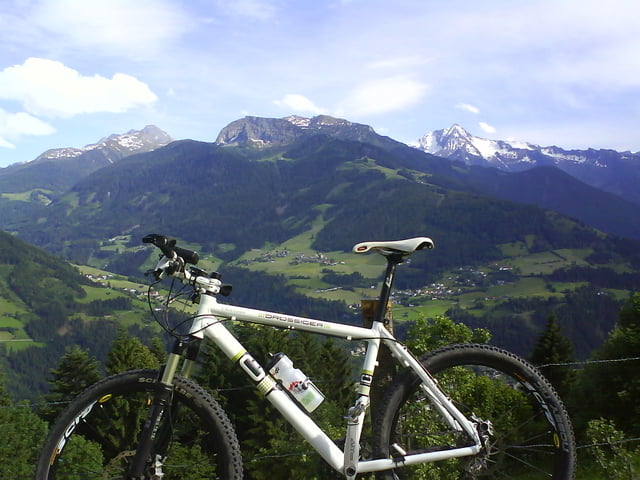
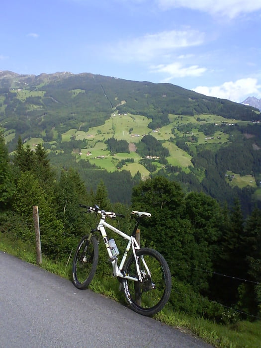
Von Aschau auf die Zillertaler Höhenstraße vorbei an der Stoanaalm und über Zellbergeben wieder zurück. Alles auf Teer auch mit Trekking und Rennrad zu fahren einfach nur um sich an die Berge zu gewöhnen. Hab die Strecke abends nach einer Wandertour gemacht. Achtung viele Autos und Sonntagsfahrer die denken sie können ein MTB bergab auf einer Serpentinenstraße überholen, das kann ins Auge gehen (oder in die Leitplanke).
Tour gallery
Tour map and elevation profile
Minimum height 564 m
Maximum height 1569 m
More about the tour author
|
|
corsair |
Comments

GPS tracks
Trackpoints-
GPX / Garmin Map Source (gpx) download
-
TCX / Garmin Training Center® (tcx) download
-
CRS / Garmin Training Center® (crs) download
-
Google Earth (kml) download
-
G7ToWin (g7t) download
-
TTQV (trk) download
-
Overlay (ovl) download
-
Fugawi (txt) download
-
Kompass (DAV) Track (tk) download
-
Track data sheet (pdf) download
-
Original file of the author (gpx) download
More about the tour author
|
|
corsair |
Add to my favorites
Remove from my favorites
Edit tags
Open track
My score
Rate