Login

Forgot your login?

Cookies have to be accepted!
Your browser's cookie functionality is disabled. Please enable this functionality.

Not a member yet?

Register now
Login

Available for registred users only

Log in to use this feature.

Forgot your login?

Cookies have to be accepted!
Your browser's cookie functionality is disabled. Please enable this functionality.

Not a member yet?

Register now
Filter
Categories
Advanced filters
  • Distance (km)
  • Height
Save filters Reset filter

TrackRank

QRCode

Technical data

Distance79,4 km Height1558 m Way down1543 m Duration05:00 h:m Date23.06.2009
Scores Author Landscape Fun factor Fitness Technique

Statistics

575 Views 1 Score 79 Downloads 5.00 Average
Rate
  • Track data sheet
  • Directions
  • Downloads

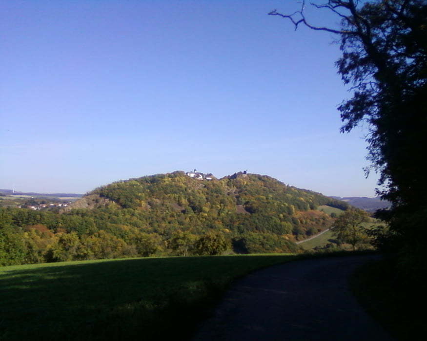
Die Tour führt von Urweiler auf den Potzberg.

Die Strecke führt hauptsächlich über Wald und Feldwege. Die befahrenen Kreisstraßen sind wenig von Autos befahren.

Es gibt sehr lange Steigungen, die eine gute Kondition verlangen.

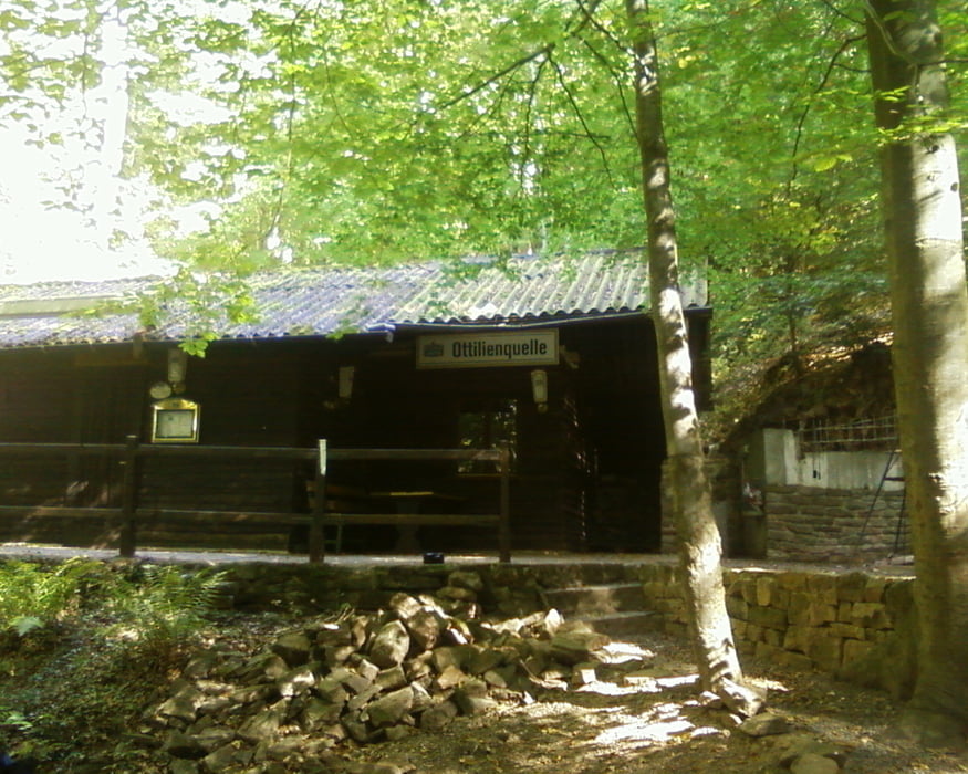
Rastmöglichkeiten gibt's : An der Tankstelle in Konken

                                                PWV Hütte in Theisberg - Stegen ( Am Wochenende )

                                                Auf dem Potzberg

                                                Bahnhof Altenglan

                                                Pizzeria im Ortskern Altenglan

                                                Auf der Burg Lichtenberg

                                                In Freisen ( Ortsmitte )


Wünsche viel Spaß beim Nachfahren.


Bitte um Kommentare wie die Tour angekommen ist....


Gruß


Hudora


Tour gallery

Tour map and elevation profile

  • Open Street Map
  • Google
Minimum height 209 m Maximum height 605 m Detailed view

More about the tour author

Hudora
Member since 2008

Send private message

Comments

GPS tracks

Trackpoints
  • GPX / Garmin Map Source (gpx) download
  • TCX / Garmin Training Center® (tcx) download
  • CRS / Garmin Training Center® (crs) download
  • Google Earth (kml) download
  • G7ToWin (g7t) download
  • TTQV (trk) download
  • Overlay (ovl) download
  • Fugawi (txt) download
  • Kompass (DAV) Track (tk) download
  • Track data sheet (pdf) download
  • Original file of the author (gpx) download

More about the tour author

Hudora
Member since 2008

Send private message
Share track
Add to my favorites
Remove from my favorites
Edit tags
My score
Rate
Track: Runde Urweiler Potzberg
Type: Mountain bike
Distance: 79,4 km
Evaluated on:
Duration:
Day(s)
Hour(s)
Minute(s)
Score: Landscape Fun factor Fitness Technique