


Lingesetalsperre, Brucher Talsperre, Aggertalsperre,
Genkeltalsperre, Lingesetalsperre (Badezeug und Handtuch mitnehmen). Überwiegend Waldwege in allen Schwierigkeitsstufen. Nur SGV-Wanderwege. Einfach zu folgen. Start X3, dann X11, X9, X19
Genkeltalsperre, Lingesetalsperre (Badezeug und Handtuch mitnehmen). Überwiegend Waldwege in allen Schwierigkeitsstufen. Nur SGV-Wanderwege. Einfach zu folgen. Start X3, dann X11, X9, X19
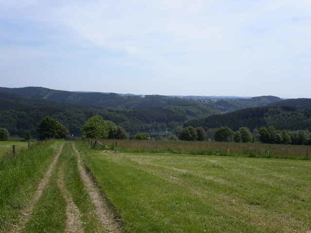
Tour gallery
Tour map and elevation profile
Minimum height 296 m
Maximum height 581 m
More about the tour author

|
Klaus Enke |
Comments

Start in Rönsahl, Strandbadweg.
GPS tracks
Trackpoints-
GPX / Garmin Map Source (gpx) download
-
TCX / Garmin Training Center® (tcx) download
-
CRS / Garmin Training Center® (crs) download
-
Google Earth (kml) download
-
G7ToWin (g7t) download
-
TTQV (trk) download
-
Overlay (ovl) download
-
Fugawi (txt) download
-
Kompass (DAV) Track (tk) download
-
Track data sheet (pdf) download
-
Original file of the author (gpx) download
More about the tour author
|
|
Klaus Enke |
Add to my favorites
Remove from my favorites
Edit tags
Open track
My score
Rate