Login

Forgot your login?

Cookies have to be accepted!
Your browser's cookie functionality is disabled. Please enable this functionality.

Not a member yet?

Register now
Login

Available for registred users only

Log in to use this feature.

Forgot your login?

Cookies have to be accepted!
Your browser's cookie functionality is disabled. Please enable this functionality.

Not a member yet?

Register now
Filter
Categories
Advanced filters
  • Distance (km)
  • Height
Save filters Reset filter

TrackRank

QRCode

Technical data

Distance9,0 km Height234 m Way down269 m Duration04:00 h:m Date26.06.2009
Scores Author Landscape Fun factor Fitness Technique

Statistics

2286 Views 1 Score 314 Downloads 5.00 Average
Rate
  • Track data sheet
  • Directions
  • Downloads
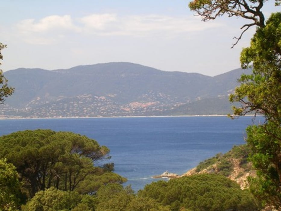
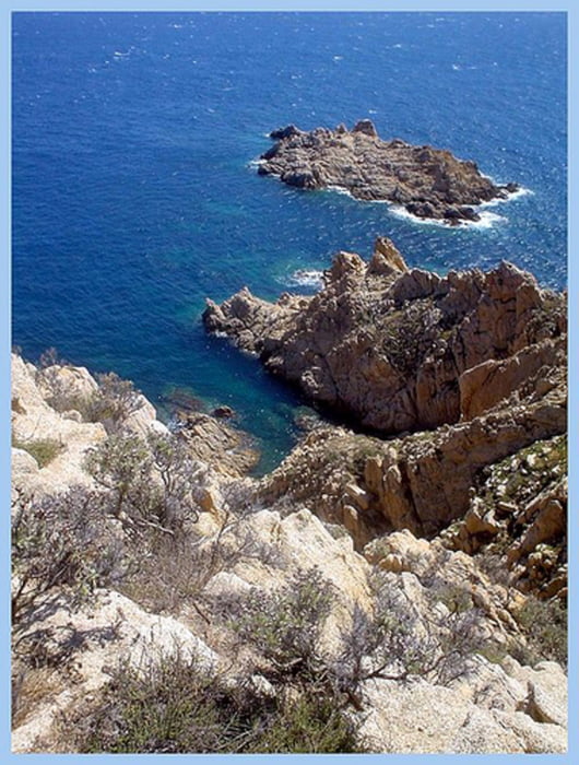
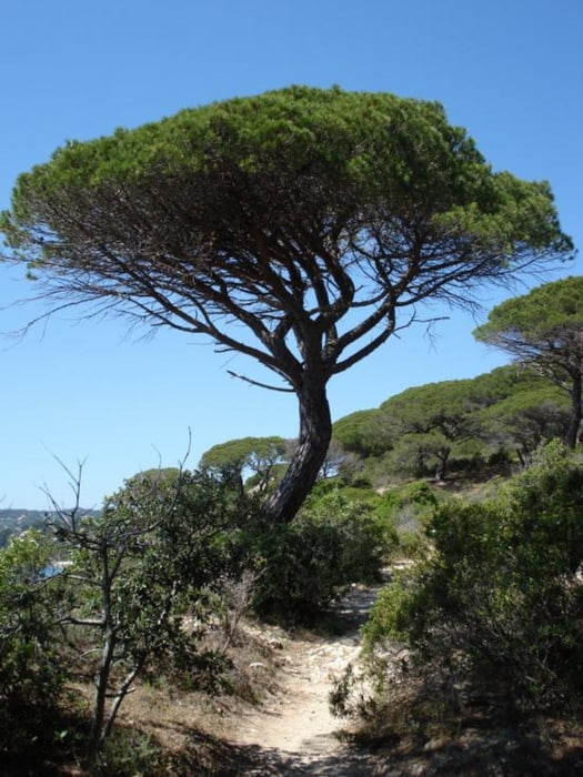
Wunderschöne Küstenwanderung um das Naturschutzgebiet Cap Lardier. Natur pur. Kaum zu glauben das es sowas an der Cote Azur noch gibt.

Tour gallery

Tour map and elevation profile

  • Open Street Map
  • Google
Minimum height -14 m Maximum height 119 m Detailed view

More about the tour author

Speroinvidiam
Member since 2009

Send private message

Comments

GPS tracks

Trackpoints
  • GPX / Garmin Map Source (gpx) download
  • TCX / Garmin Training Center® (tcx) download
  • CRS / Garmin Training Center® (crs) download
  • Google Earth (kml) download
  • G7ToWin (g7t) download
  • TTQV (trk) download
  • Overlay (ovl) download
  • Fugawi (txt) download
  • Kompass (DAV) Track (tk) download
  • Track data sheet (pdf) download
  • Original file of the author (gpx) download

More about the tour author

Speroinvidiam
Member since 2009

Send private message
Share track
Add to my favorites
Remove from my favorites
Edit tags
My score
Rate
Track: Escalet bis Gigaro St.Tropez
Type: Hiking
Distance: 9,0 km
Evaluated on:
Duration:
Day(s)
Hour(s)
Minute(s)
Score: Landscape Fun factor Fitness Technique