


Tour entlang des Querwegs Rottweil-Lahr von Rottweil nach Biberach
Ausgangspunkt und Ziel ist der Bahnhof in Biberach im Kinzigtal.
Mit dem Zug nach Rottweil (einfache Fahrt mit Radkarte kostet ca. 20 EUR).
Die Tour geht abwechslungsreich über Wege und Trails wieder nach Biberach zurück.
Eine Abkürzung ist möglich, indem man nur von Rottweil bis Hornberg fährt und dann mit dem Zug zurück nach Biberach.
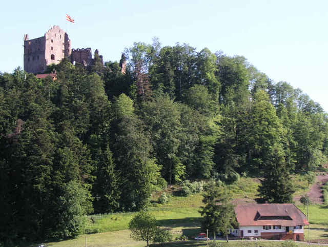
Tour gallery
Tour map and elevation profile
Minimum height 204 m
Maximum height 958 m
More about the tour author
|
|
RandB |
Comments

Offenburg - Kinzigtal - Biberach
GPS tracks
Trackpoints-
GPX / Garmin Map Source (gpx) download
-
TCX / Garmin Training Center® (tcx) download
-
CRS / Garmin Training Center® (crs) download
-
Google Earth (kml) download
-
G7ToWin (g7t) download
-
TTQV (trk) download
-
Overlay (ovl) download
-
Fugawi (txt) download
-
Kompass (DAV) Track (tk) download
-
Track data sheet (pdf) download
-
Original file of the author (gpx) download
More about the tour author
|
|
RandB |
Add to my favorites
Remove from my favorites
Edit tags
Open track
My score
Rate