


Transalp in 4 Tagen / 450 km, 10900 hm
Route:
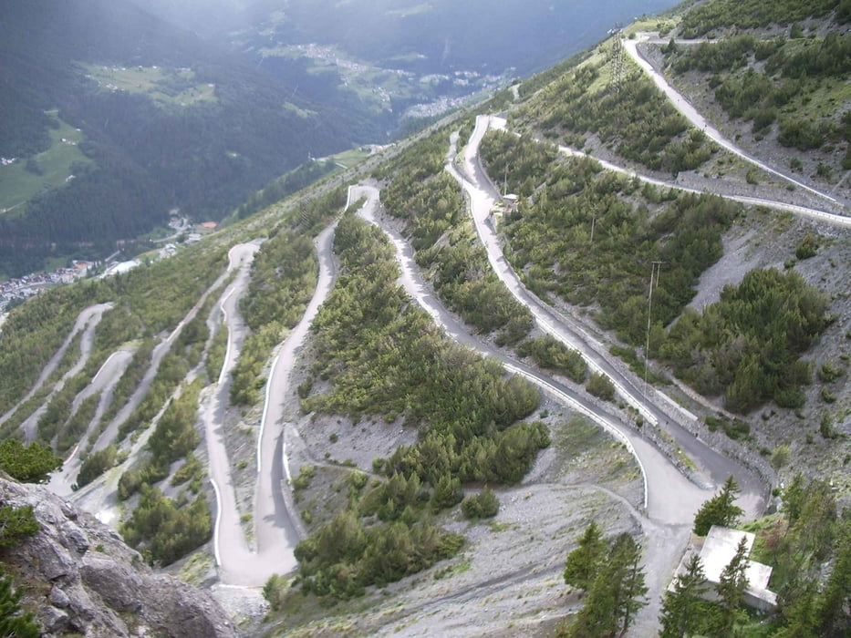
Schruns, PARTENEN, Zainisjoch, Ischgl,
Heidelberger Hütte, Fimberpass, Val Sinestra, Sent, SCUOL,
Pass Costainas, Döss Radond, Lago di S. Giacomo & di Fraele,
Valdidentro, ARNOGA, Pso.di Verva, Grosio, Pso.del Mortirolo,
Edolo, Breno, PRESTINE, Pso. Croce Domini,
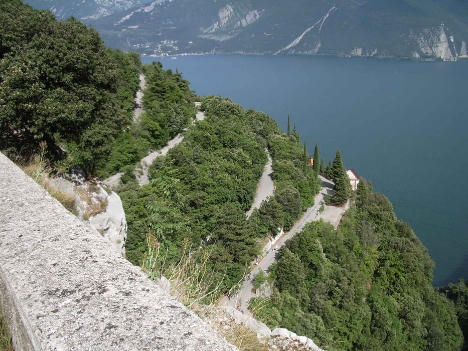
Bagolino, Ceretto, Ponte Caffaro, Pso. di Ampola,
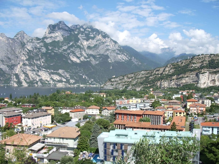
Lago di Ledro, RIVA, Rovereto.
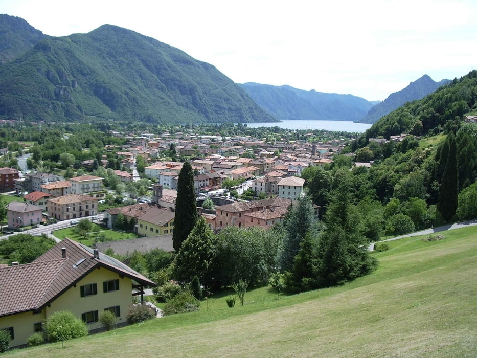
Montafon, Paznauntal, Unterengadin, Val Müstair, Val Mora,
Val Verva, Vallecamonica, Valli Giudicarie, Gardasee.
Anmerkung:
Von Scianica/Sellero bis Prestine sind mir leider die
GPS-Daten verloren gegangen (ca. 15 km). Gefahren sind wir
auf der SS42 bis Breno und dann auf der SS345 über Bieno nach Prestine.
Dannach gibt es wieder GPS.Tour gallery
Tour map and elevation profile
Minimum height 46 m
Maximum height 2620 m
More about the tour author
|
|
wsbl54 |
Comments

Anreise mit der Bahn über Bregenz und Bludenz nach Schruns.
Rückreise mit der Bahn ab Rovereto.GPS tracks
Trackpoints-
GPX / Garmin Map Source (gpx) download
-
TCX / Garmin Training Center® (tcx) download
-
CRS / Garmin Training Center® (crs) download
-
Google Earth (kml) download
-
G7ToWin (g7t) download
-
TTQV (trk) download
-
Overlay (ovl) download
-
Fugawi (txt) download
-
Kompass (DAV) Track (tk) download
-
Track data sheet (pdf) download
-
Original file of the author (gpx) download
More about the tour author
|
|
wsbl54 |
Add to my favorites
Remove from my favorites
Edit tags
Open track
My score
Rate