


Schwandorf - Dachelhofen - Naabeck - Wiefelsdorf - Auhof - Waltenhof - Münchshof - Teublitz - Katzdorf - Klardorf - Unterweiherhaus - Schwandorf
Hinweis: die Strecke von Klardorf nach Schwandorf (entlang der Bahngleise) besteht aus Split und Schotter, für Rennräder nicht geeignet.
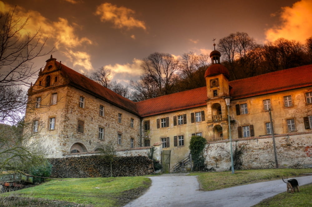
Nach dem Start in Schwandorf geht es über Dachelhofen vorbei am ehemaligen Braunkohlekrauftwerk entlang der Naab nach Naabeck und Wiefelsdorf. Dem offiziellen Radweg folgend gelangt man über Auhof und Waltenhof nach Münchshof (-> Schloss Münchshof).
Vor Teublitz fährt man links vorbei an der Höllohe und kommt auf dem Rückweg über den offiziellen Radweg (geteert, parallel zur Straße) nach Klardorf. Hier geht es zum Bahnhof und dann am Bahndamm entlang auf einem geschotterten Weg (Achtung: teilweise auch loser Split) über die Seeklause (Lokal am Klausensee) zurück nach Schwandorf.
Further information at
http://www.rainersinger.deTour gallery
Tour map and elevation profile
Minimum height 346 m
Maximum height 393 m
More about the tour author

|
rsinger |
Comments

GPS tracks
Trackpoints-
GPX / Garmin Map Source (gpx) download
-
TCX / Garmin Training Center® (tcx) download
-
CRS / Garmin Training Center® (crs) download
-
Google Earth (kml) download
-
G7ToWin (g7t) download
-
TTQV (trk) download
-
Overlay (ovl) download
-
Fugawi (txt) download
-
Kompass (DAV) Track (tk) download
-
Track data sheet (pdf) download
-
Original file of the author (gpx) download
More about the tour author
|
|
rsinger |
Add to my favorites
Remove from my favorites
Edit tags
Open track
My score
Rate