


Erkrath-Gruiten-Burgholz
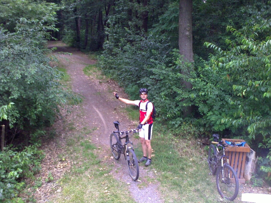
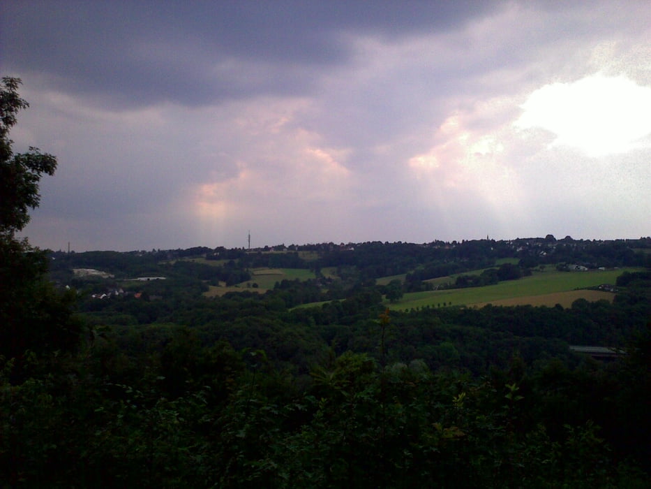
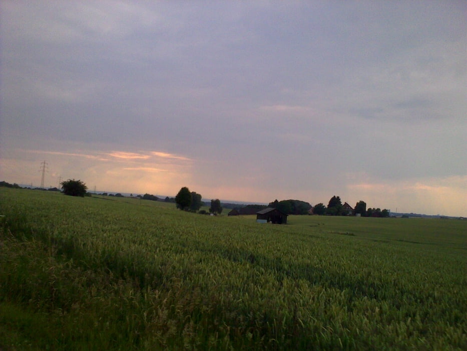
Diese Rundtour beginnt in Erkrath - Hochdahl und führt größten teil über asphaltierte Forst- und Waldwege. Hier und da sind kleine Trails eingebaut die es etwas schwieriger machen. Bei gutem Wetter wird man in der Kohlführt mit einigen guten Aussichten belohnt.
Dies Tour ist auch bei nicht so guten Wetter fahrbar, da der größte Teil über befestigte Wege führt.
Viel Spaß beim nach Fahren.
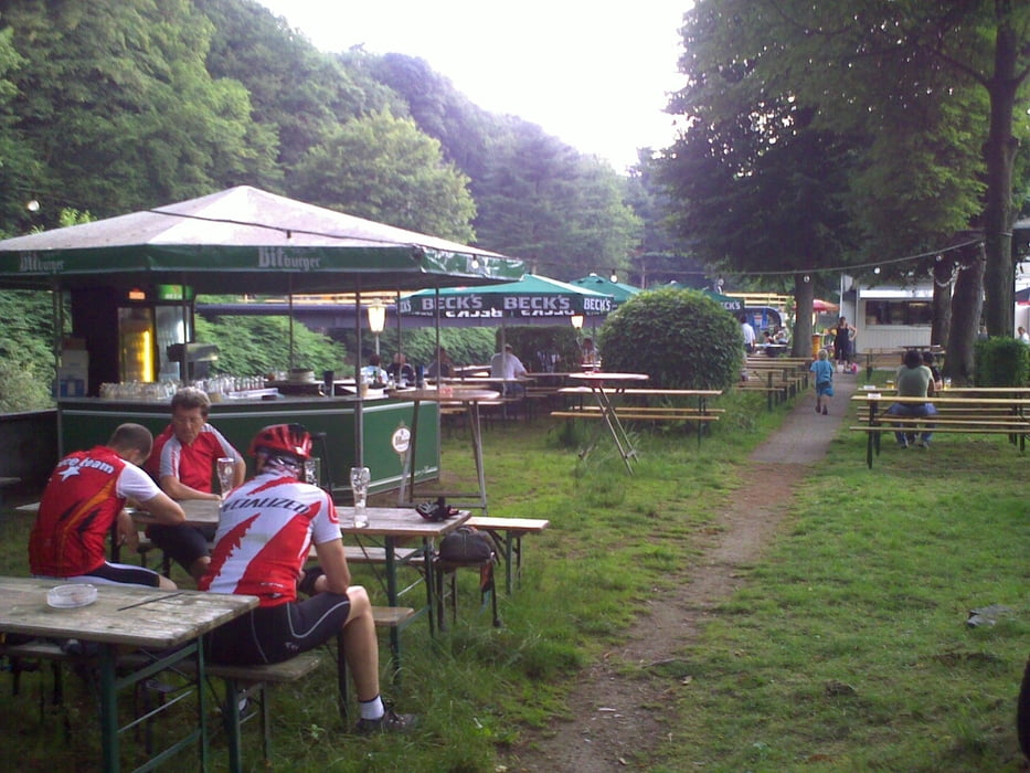
Tour gallery
Tour map and elevation profile
Minimum height 525 m
Maximum height 721 m
More about the tour author
|
|
MarcusVergin |
Comments
GPS tracks
Trackpoints-
GPX / Garmin Map Source (gpx) download
-
TCX / Garmin Training Center® (tcx) download
-
CRS / Garmin Training Center® (crs) download
-
Google Earth (kml) download
-
G7ToWin (g7t) download
-
TTQV (trk) download
-
Overlay (ovl) download
-
Fugawi (txt) download
-
Kompass (DAV) Track (tk) download
-
Track data sheet (pdf) download
-
Original file of the author (gpx) download
More about the tour author
|
|
MarcusVergin |
Add to my favorites
Remove from my favorites
Edit tags
Open track
My score
Rate
Erkrath-Gruiten-Burgholz
Es lohnt sich hier & da mal "zur Abwechslung" in einen der vielen Trails abzubiegen.
Und...wieder ein paar Ecken kennen gelernt, die man sonst nicht so zu sehen bekommt.
Thx!