Login

Forgot your login?

Cookies have to be accepted!
Your browser's cookie functionality is disabled. Please enable this functionality.

Not a member yet?

Register now
Login

Available for registred users only

Log in to use this feature.

Forgot your login?

Cookies have to be accepted!
Your browser's cookie functionality is disabled. Please enable this functionality.

Not a member yet?

Register now
Filter
Categories
Advanced filters
  • Distance (km)
  • Height
Save filters Reset filter

TrackRank

QRCode

Technical data

Distance45,7 km Height382 m Way down379 m Duration03:00 h:m Date06.07.2009
Scores Author User Landscape Fun factor Fitness Technique

Statistics

1050 Views 1 Score 219 Downloads 4.00 Average
Rate
  • Track data sheet
  • Directions
  • Downloads

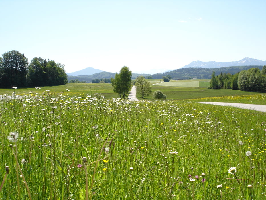
Start am Bahnhof Seeshaupt und am See entlang nach Bernried (wegen Veranstaltung bei Trackaufzeichnung gesperrt ). Vor Bernried geht es links ins idyllische und hügelige Wiesen-, Wald, Seengelände rund um Seeshaupt. Südlicher Umkehrpunkt an den Osterseen. Auf der Tour mehrmals toller Alpenblick. Kein Verkehr. Auto- und Schotterstraßen.

Einfach schön.

Tour gallery

Tour map and elevation profile

  • Open Street Map
  • Google
Minimum height 572 m Maximum height 688 m Detailed view

More about the tour author

GudrunDoetsch
Member since 2009

Send private message

Comments

GPS tracks

Trackpoints
  • GPX / Garmin Map Source (gpx) download
  • TCX / Garmin Training Center® (tcx) download
  • CRS / Garmin Training Center® (crs) download
  • Google Earth (kml) download
  • G7ToWin (g7t) download
  • TTQV (trk) download
  • Overlay (ovl) download
  • Fugawi (txt) download
  • Kompass (DAV) Track (tk) download
  • Track data sheet (pdf) download
  • Original file of the author (gpx) download

More about the tour author

GudrunDoetsch
Member since 2009

Send private message
Share track
Add to my favorites
Remove from my favorites
Edit tags
My score
Rate
Track: Seeshaupt - Bernried - Osterseen
Type: Mountain bike
Distance: 45,7 km
Evaluated on:
Duration:
Day(s)
Hour(s)
Minute(s)
Score: Landscape Fun factor Fitness Technique