
")

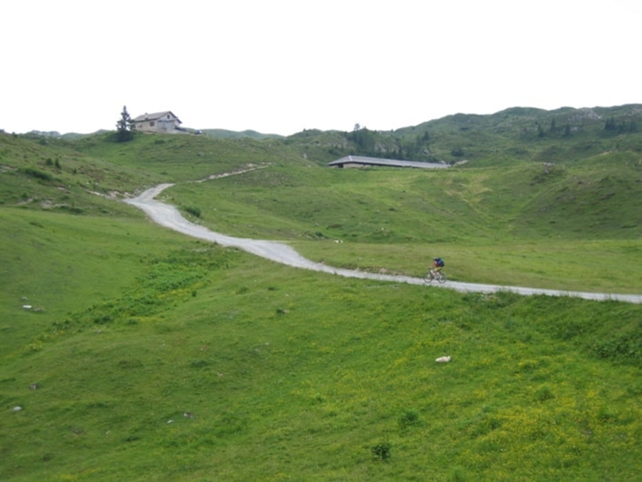
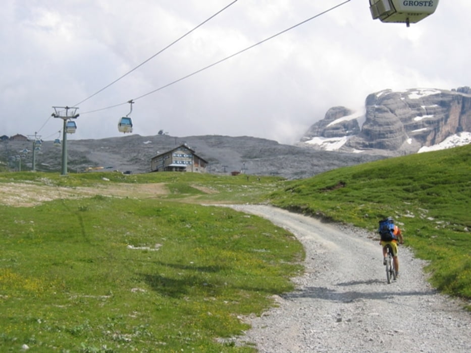
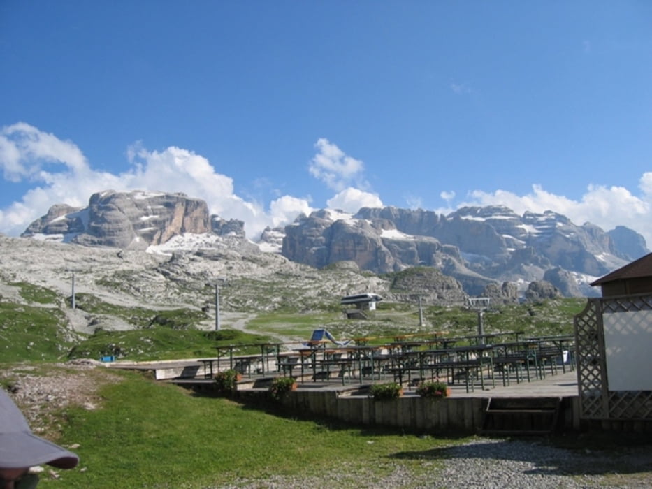
Am Morgen starten wir in Male-Terzolas (Hotel Pippo - Chef Bruno empfehlenswert!) es geht bergauf. In Madonna di Campiglio speisen wir zu Mittag (neben der Seilbahnsstation - Menü 15€ empfehlenswert) , danach geht es weiter, nach einem Capu nehmen wir den Rest der Strecke ins Visier. Es geht hoch zum Rifugio Graffer! (MP 35€ DAV -47€ ohne Mitgliedschaft C.A.I.). Die Küche ist 1a - empfehlenswert ist das frisch gekochte Pizzocherie hier oben!
Zusätzliche Daten: 8,2 Km/h AVS - 42 Km/h max. Spd. - Steigung durchschnittlich 7% bis max. 23%.
Hinweis: der am 24.07.2009 gefahrene Track wurde fehlerbereinigt und ist vom Stand 02.08.2009.
Wetter: Ganztägig herrlichstes Dolomitenwetter!
730-105-21072018
Further information at
http://www.dolomitibrentabike.it/lang/DE/pagine/dettaglio/2/91.htmlTour gallery
Tour map and elevation profile
Minimum height 660 m
Maximum height 2261 m
More about the tour author
|
|
schenie |
Comments

Start ist in Male
Ziel ist das Rif. Graffer
Aus meinem Tagebuch:
Sehenswert:
Einkehrmöglichkeit:
Schlußworte:
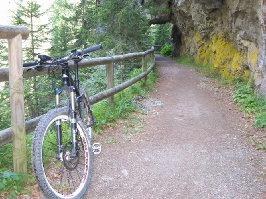
Radtechnik: TREK8000
GPS: Garmin Etrex Vista HCX
730-105-21072018
GPS tracks
Trackpoints-
GPX / Garmin Map Source (gpx) download
-
TCX / Garmin Training Center® (tcx) download
-
CRS / Garmin Training Center® (crs) download
-
Google Earth (kml) download
-
G7ToWin (g7t) download
-
TTQV (trk) download
-
Overlay (ovl) download
-
Fugawi (txt) download
-
Kompass (DAV) Track (tk) download
-
Track data sheet (pdf) download
-
Original file of the author (gpx) download
More about the tour author
|
|
schenie |
Add to my favorites
Remove from my favorites
Edit tags
Open track
My score
Rate