


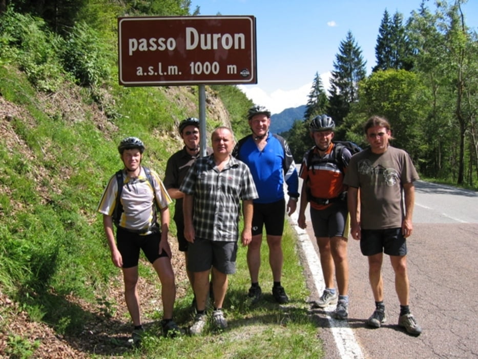
Wir starten frohgelaunt vom Rifugio Graffer. Im Rifugio Brenta machen wir Mittagspause (Super Pasta-Portionen). Weiter geht es dann über den Passo Durone durch herrliche italiensische Dörfchen nach Ponte Arche. Das ist dann unsere letzte Übernachtung hier im Albergo Cervo (ÜF 35€ - MP 45€ Chef Mario)!
Zusätzliche Daten: AVS 13,2 Km/h - Max. Spd. 60 Km/h - Durchschnittliche Steigung 7% bis 23% maximal.
Hinweis: der am 25.07.2009 gefahrene Track wurde fehlerbereinigt und ist vom Stand 02.08.2009.
Wetter: schöner kann man sich dieses Dolomitenwetter gar nicht vorstellen - der Abstecher über den Passo Durone (Achtung es gibt noch einen Pso. Duron bei Agordo!) war sehr schweißtreibend - bei Mario gibt es Erfrischungen!
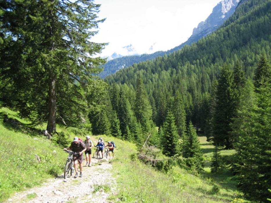
Einkehrmöglichkeiten: Kein Problem rund um die Brenta
GPS: der Track ist fehlerkorrigiert und wurde mit einem Garmin Etrex Vista HCx aufgezeichnet
Radtechnik: TREK8000 Hardtail
Schlußwort:
954-122-21072018
Further information at
http://www.dolomitibrentabike.it/lang/DE/pagine/dettaglio/2/91.htmlTour gallery

Tour map and elevation profile
Minimum height 404 m
Maximum height 2267 m
More about the tour author
|
|
schenie |
Comments

Start ist beim Rifugio Graffer
Ziel ist Ponte Arche
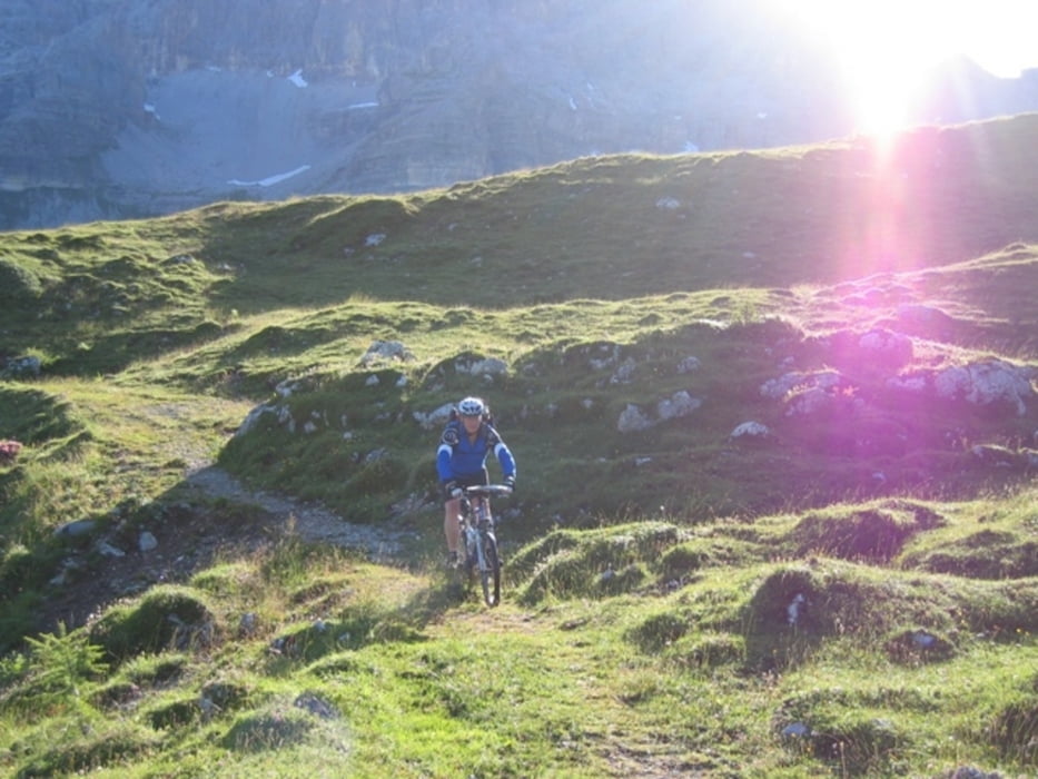
Wir sind mit dem MTB und Rucksack unterwegs
Aus meinem Tagebuch:
Sehenswert:
Einkehrmöglichkeit:
Schlußworte:
Radtechnik: TREK8000
GPS: Garmin Etrex Vista HCX
954-122-21072018
GPS tracks
Trackpoints-
GPX / Garmin Map Source (gpx) download
-
TCX / Garmin Training Center® (tcx) download
-
CRS / Garmin Training Center® (crs) download
-
Google Earth (kml) download
-
G7ToWin (g7t) download
-
TTQV (trk) download
-
Overlay (ovl) download
-
Fugawi (txt) download
-
Kompass (DAV) Track (tk) download
-
Track data sheet (pdf) download
-
Original file of the author (gpx) download
More about the tour author
|
|
schenie |
Add to my favorites
Remove from my favorites
Edit tags
Open track
My score
Rate