


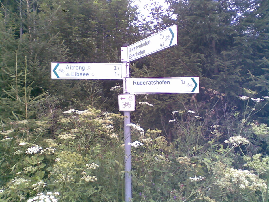
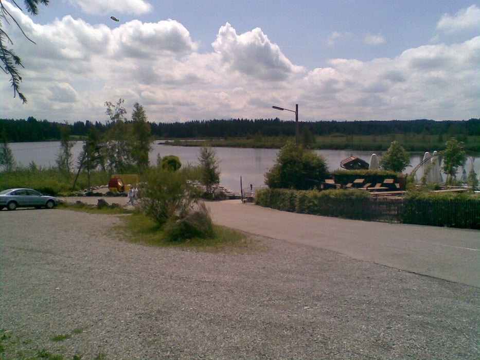
Relativ flache Runde zum Elbsee bei Aitrang.
Die Route führt zunächst von Bad Wörishofen auf Radwegen nach Kaufbeuren und Biessenhofen. Weiter geht es über Feldwege und Nebenstraßen nach Ruderatshofen und zum Elbsee.
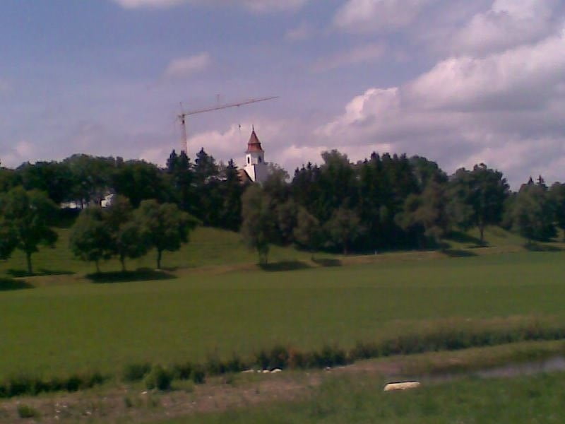
Etwas hügelig führt die Route weiter nach Aitrang, Friesenried nach Eggental. Von nun geht es schnurgerade der alten Römerstraße entlang nach Baisweil. Bei Großried überquert man zunächst die B16, bevor nach einigen Kilometern das Ziel wieder erreicht wird.
Tour gallery
Tour map and elevation profile
Minimum height 628 m
Maximum height 770 m
More about the tour author
|
|
Staudenbiker |
Comments

GPS tracks
Trackpoints-
GPX / Garmin Map Source (gpx) download
-
TCX / Garmin Training Center® (tcx) download
-
CRS / Garmin Training Center® (crs) download
-
Google Earth (kml) download
-
G7ToWin (g7t) download
-
TTQV (trk) download
-
Overlay (ovl) download
-
Fugawi (txt) download
-
Kompass (DAV) Track (tk) download
-
Track data sheet (pdf) download
-
Original file of the author (gpx) download
More about the tour author
|
|
Staudenbiker |
Add to my favorites
Remove from my favorites
Edit tags
Open track
My score
Rate