


Wir haben in 4 Tagen den oberen Gardasee umrundet. Jeden Tag haben wir ca. 1400 Hm absolviert.
1. Tag: Riva - Vesio. Hotel Sole
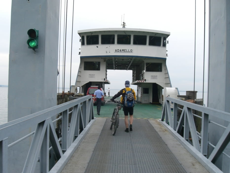
2. Tag: Toscolano-Maderno Achtung :Schiebe-/Tragepassage auf dem Weg 33. Bed & Breakfast Ella direkt an der Ablegestelle
3. Tag: Malga Ime
4. Tag: Riva. Albergorolly.it
Tour gallery


Tour map and elevation profile
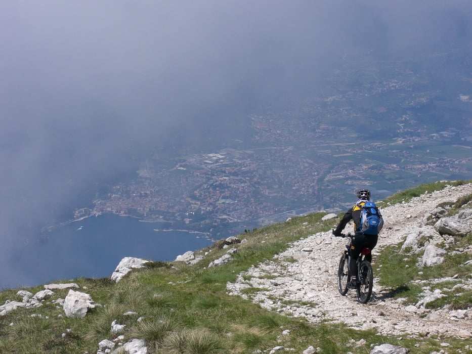
Minimum height 63 m
Maximum height 2105 m
More about the tour author
|
|
Alexander |
Comments
wir konnten unser Auto beim Albergorolly.it kostenlos stehen lassen.
GPS tracks
Trackpoints-
GPX / Garmin Map Source (gpx) download
-
TCX / Garmin Training Center® (tcx) download
-
CRS / Garmin Training Center® (crs) download
-
Google Earth (kml) download
-
G7ToWin (g7t) download
-
TTQV (trk) download
-
Overlay (ovl) download
-
Fugawi (txt) download
-
Kompass (DAV) Track (tk) download
-
Track data sheet (pdf) download
-
Original file of the author (gpx) download
More about the tour author
|
|
Alexander |
Add to my favorites
Remove from my favorites
Edit tags
Open track
My score
Rate
Gardaseerunde
Aufgrund von Dauerregen am 4. Tag haben wir die Runde etwas verändert und sind über St. Valentino/Mori zurück nach Riva gefahren.
Die Anstiege am 2. und 3. Tag sind überwiegend auf Teerstraße, was aber um Höhe zu gewinnen nicht nachteilig ist.
Uns hat die Tour sehr gut gefallen.