Login

Forgot your login?

Cookies have to be accepted!
Your browser's cookie functionality is disabled. Please enable this functionality.

Not a member yet?

Register now
Login

Available for registred users only

Log in to use this feature.

Forgot your login?

Cookies have to be accepted!
Your browser's cookie functionality is disabled. Please enable this functionality.

Not a member yet?

Register now
Filter
Categories
Advanced filters
  • Distance (km)
  • Height
Save filters Reset filter

TrackRank

QRCode

Technical data

Distance6,7 km Height21 m Way down742 m Duration00:30 h:m Date09.07.2009
Scores Author Landscape Fun factor Fitness Technique

Statistics

349 Views Scores 20 Downloads Average
Rate
  • Track data sheet
  • Directions
  • Downloads
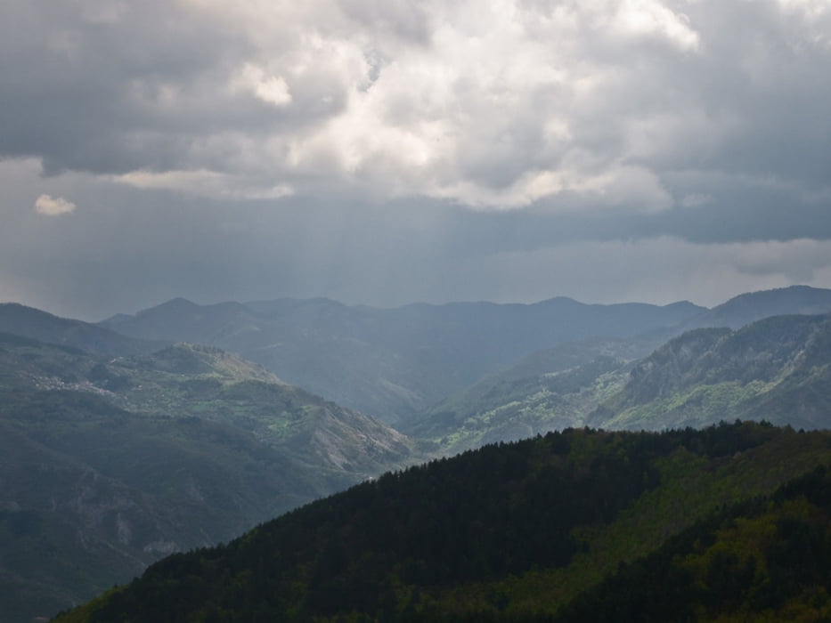
това е една пътека за спускане от Пашалийца в Югово ... по-забавната алтернатива на официалния черен път ;-)

Tour map and elevation profile

  • Open Street Map
  • Google
Minimum height 728 m Maximum height 1458 m Detailed view

More about the tour author

outfaced
Member since 2008

Send private message

Comments

докато се стигне до началото на трака се кара по големия черен път от Пашалийца към Югово

GPS tracks

Trackpoints
  • GPX / Garmin Map Source (gpx) download
  • TCX / Garmin Training Center® (tcx) download
  • CRS / Garmin Training Center® (crs) download
  • Google Earth (kml) download
  • G7ToWin (g7t) download
  • TTQV (trk) download
  • Overlay (ovl) download
  • Fugawi (txt) download
  • Kompass (DAV) Track (tk) download
  • Track data sheet (pdf) download
  • Original file of the author (gpx) download

More about the tour author

outfaced
Member since 2008

Send private message
Share track
Add to my favorites
Remove from my favorites
Edit tags
My score
Rate
Track: пътека: х.Пашалийца - Югово (туристическата пътека - малко по екстремно спускане)
Type: Mountain bike
Distance: 6,7 km
Evaluated on:
Duration:
Day(s)
Hour(s)
Minute(s)
Score: Landscape Fun factor Fitness Technique