


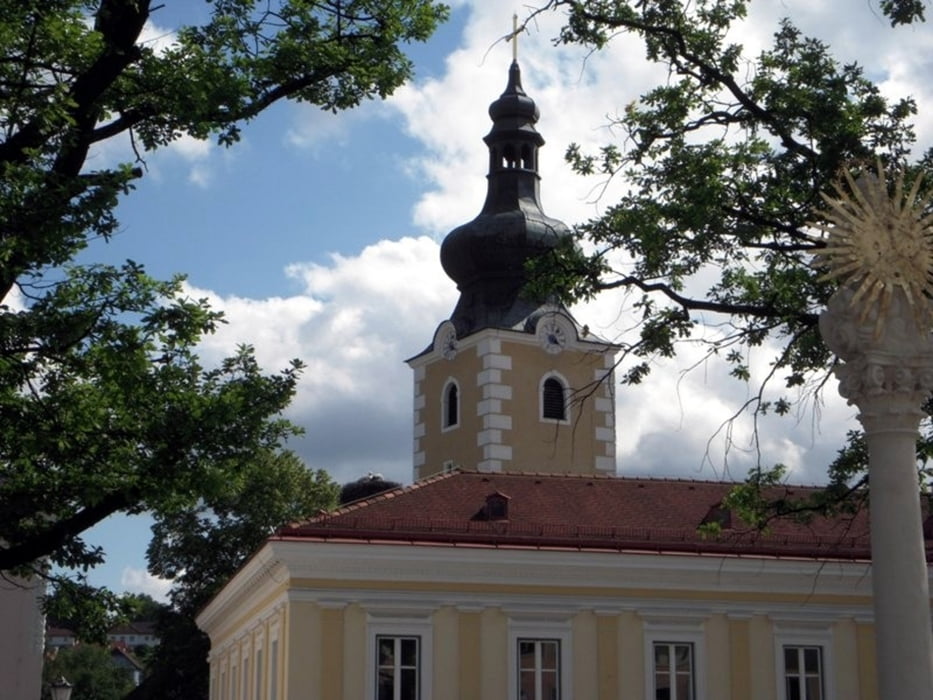
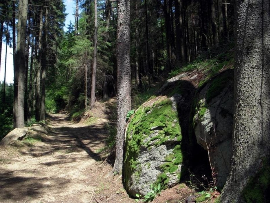
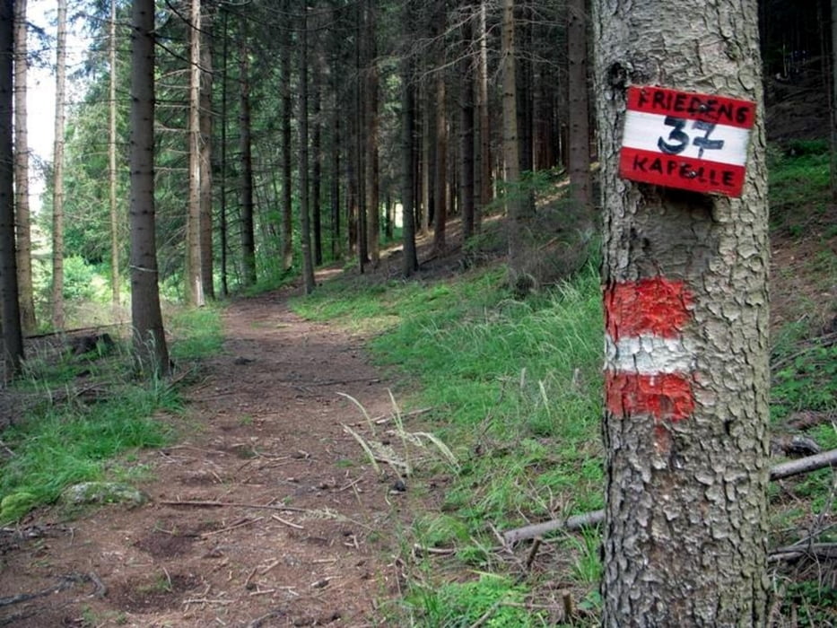
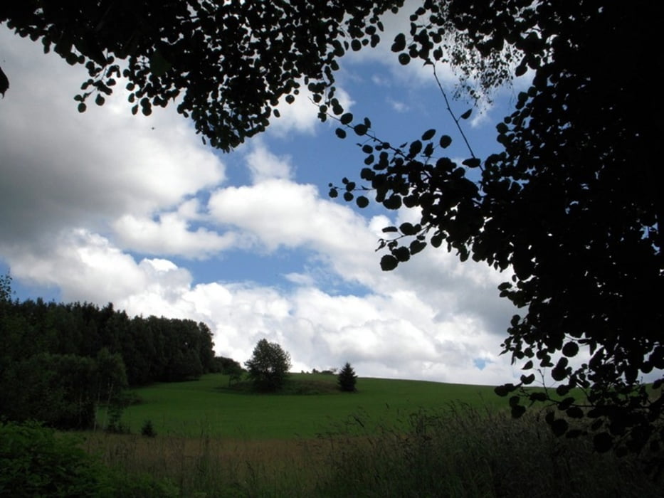
Die Strecke führt von Groß Gerungs über die Hochfläche von Ober Rosenauerwald zu einer einfachen aus Feldsteinen erbauten Kapelle. Die Friedenskapelle wurde 1945 aus Dankbarkeit, dass die Heimat während des Krieges vom Ärgsten verschont geblieben ist, errichtet. Die anschließende Wanderung durch die reizvolle Waldviertler Landschaft endet wieder in Groß Gerungs.
Streckencharakteristik: 45% Asphalt, 55% Wald- und Wiesenwege
Karten:
- Info-Tafel beim Ausgangspunkt am Hauptplatz in Groß Gerungs
- Austria Map Ost (BEV)
- Österreichische Karte 1:50.000, herausgegeben vom Bundesamt für Eich- und Vermessungswesen in Wien Nr.18 Weitra
Mehr Info und Deine Meinung in meinem Wanderblog - schau doch mal vorbei!
Further information at
http://www.zwalk.at/friedenskapelle/Tour gallery
Tour map and elevation profile
Minimum height 657 m
Maximum height 728 m
More about the tour author
|
|
Jonny |
Comments

Per Auto - Parkplätze am Hauptplatz in Groß Gerungs oder am Parkplatz hinter der Stadtgemeinde.
- nördlich Zwettl Richtung Groß Gerungs
- östlich Zwettl Richtung Groß Gerungs
- südlich Westautobahn A1 Abfahrt Ybbs, Würnsdorf, Ottenschlag, Zwettl Richtung Groß Gerungs
GPS tracks
Trackpoints-
GPX / Garmin Map Source (gpx) download
-
TCX / Garmin Training Center® (tcx) download
-
CRS / Garmin Training Center® (crs) download
-
Google Earth (kml) download
-
G7ToWin (g7t) download
-
TTQV (trk) download
-
Overlay (ovl) download
-
Fugawi (txt) download
-
Kompass (DAV) Track (tk) download
-
Track data sheet (pdf) download
-
Original file of the author (gpx) download
More about the tour author
|
|
Jonny |
Add to my favorites
Remove from my favorites
Edit tags
Open track
My score
Rate