Login

Forgot your login?

Cookies have to be accepted!
Your browser's cookie functionality is disabled. Please enable this functionality.

Not a member yet?

Register now
Login

Available for registred users only

Log in to use this feature.

Forgot your login?

Cookies have to be accepted!
Your browser's cookie functionality is disabled. Please enable this functionality.

Not a member yet?

Register now
Filter
Categories
Advanced filters
  • Distance (km)
  • Height
Save filters Reset filter

TrackRank

QRCode

Technical data

Distance31,8 km Height416 m Way down416 m Duration01:45 h:m Date09.07.2009
Scores Author Landscape Fun factor Fitness Technique

Statistics

489 Views Scores 34 Downloads Average
Rate
  • Track data sheet
  • Directions
  • Downloads

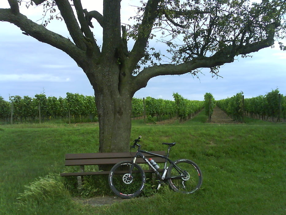
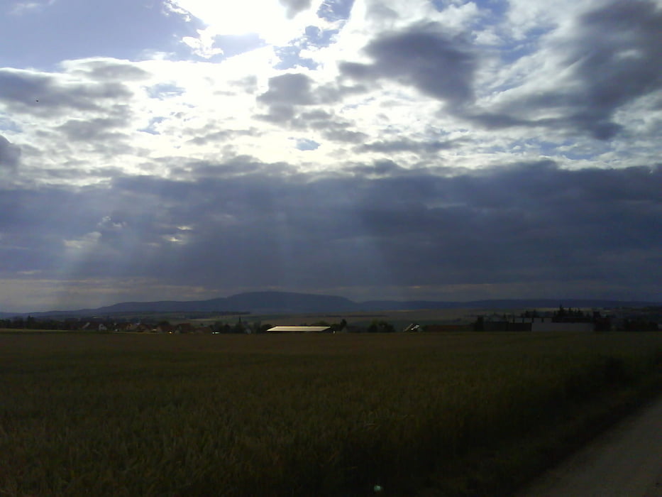
Tour Start Heppenheim über eine kleine Steigung im Feld, über die Feldautobahn über Offstein Richtung Bockenheim. In Bockenheim entlang des Weinlehrpfades Richtung Kindenheim. Kurz vor Biedesheim zurück über Kindenheim Richtung Bockenheim. In Bockenheim übers Feld nach Monsheim. Von Monsheim aus übersFeld zurück nach Worms Heppenheim.

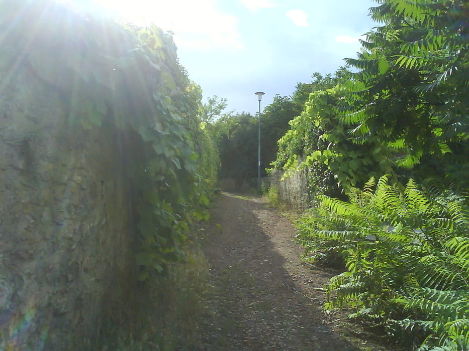
Höhepunkt: Weinlehrpfad in Bockenheim


Further information at

http://www.a-trip.com/tracks/view/25884

Tour gallery

Tour map and elevation profile

  • Open Street Map
  • Google
Minimum height 104 m Maximum height 295 m Detailed view

More about the tour author

Fell
Member since 2009

Send private message

Comments

GPS tracks

Trackpoints
  • GPX / Garmin Map Source (gpx) download
  • TCX / Garmin Training Center® (tcx) download
  • CRS / Garmin Training Center® (crs) download
  • Google Earth (kml) download
  • G7ToWin (g7t) download
  • TTQV (trk) download
  • Overlay (ovl) download
  • Fugawi (txt) download
  • Kompass (DAV) Track (tk) download
  • Track data sheet (pdf) download
  • Original file of the author (gpx) download

More about the tour author

Fell
Member since 2009

Send private message
Share track
Add to my favorites
Remove from my favorites
Edit tags
My score
Rate
Track: Tour Heppenheim Bockenheim Kindenheim
Type: Mountain bike
Distance: 31,8 km
Evaluated on:
Duration:
Day(s)
Hour(s)
Minute(s)
Score: Landscape Fun factor Fitness Technique