


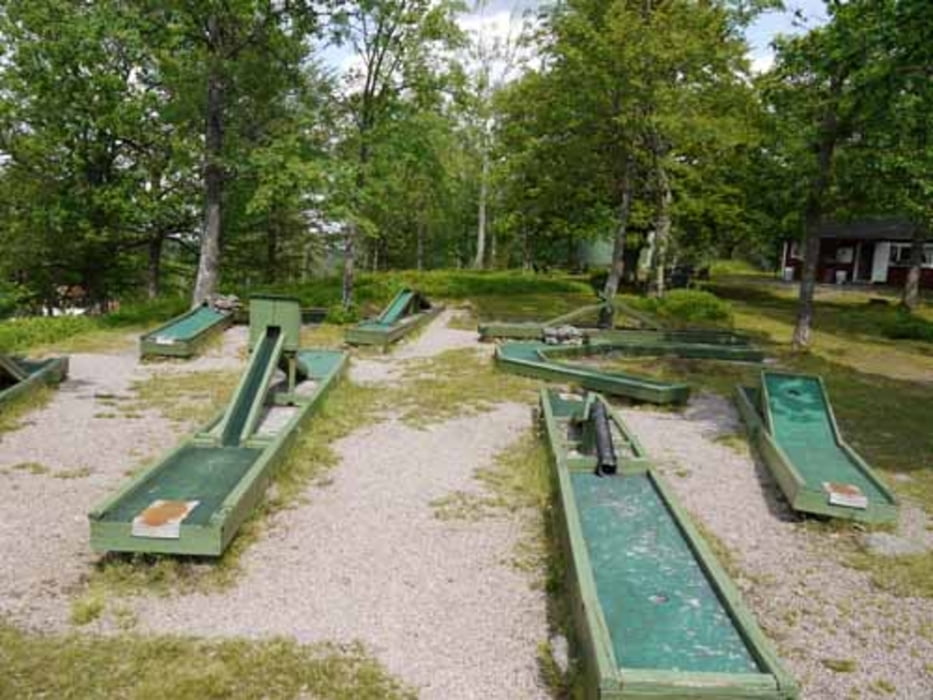
Die Tour startet im Zentrum von Ramkvilla. Zunächst werden zwei knackige Anstiege zu bewältigen sein. Zur Belohnung kann nach etwa 1/3 der Strecke die Aussicht bei einer Tasse Kaffee und ner Partie Minigolf genossen werden. Die Anlage ist echt nostalgisch. Es folgen leichte Abfahrten und leichte Anstiege.
Die Tour verläuft zu 2/3 auf Schotterwegen und die restliche Strecke führt über Asphalt. Das Verkehrsaufkommen ist gering bis mäßig zu beurteilen.
Further information at
http://www.ramkvilla.com/deTour gallery
Tour map and elevation profile
Minimum height 176 m
Maximum height 313 m
More about the tour author

|
sissi759 |
Comments

Parkplätze stehen an der Tourist-Info am Golfplatz zur Verfügung. Hier gibt es u.a. weitere Tourpläne für weitere Strecken. Diese sind jedoch relativ grob. Eine zusätzliche Straßenkarten oder eine Topo wäre hier sinnvoll.
GPS tracks
Trackpoints-
GPX / Garmin Map Source (gpx) download
-
TCX / Garmin Training Center® (tcx) download
-
CRS / Garmin Training Center® (crs) download
-
Google Earth (kml) download
-
G7ToWin (g7t) download
-
TTQV (trk) download
-
Overlay (ovl) download
-
Fugawi (txt) download
-
Kompass (DAV) Track (tk) download
-
Track data sheet (pdf) download
-
Original file of the author (gpx) download
More about the tour author
|
|
sissi759 |
Add to my favorites
Remove from my favorites
Edit tags
Open track
My score
Rate