


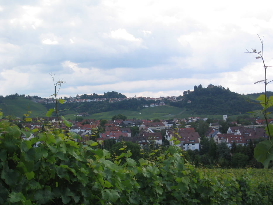
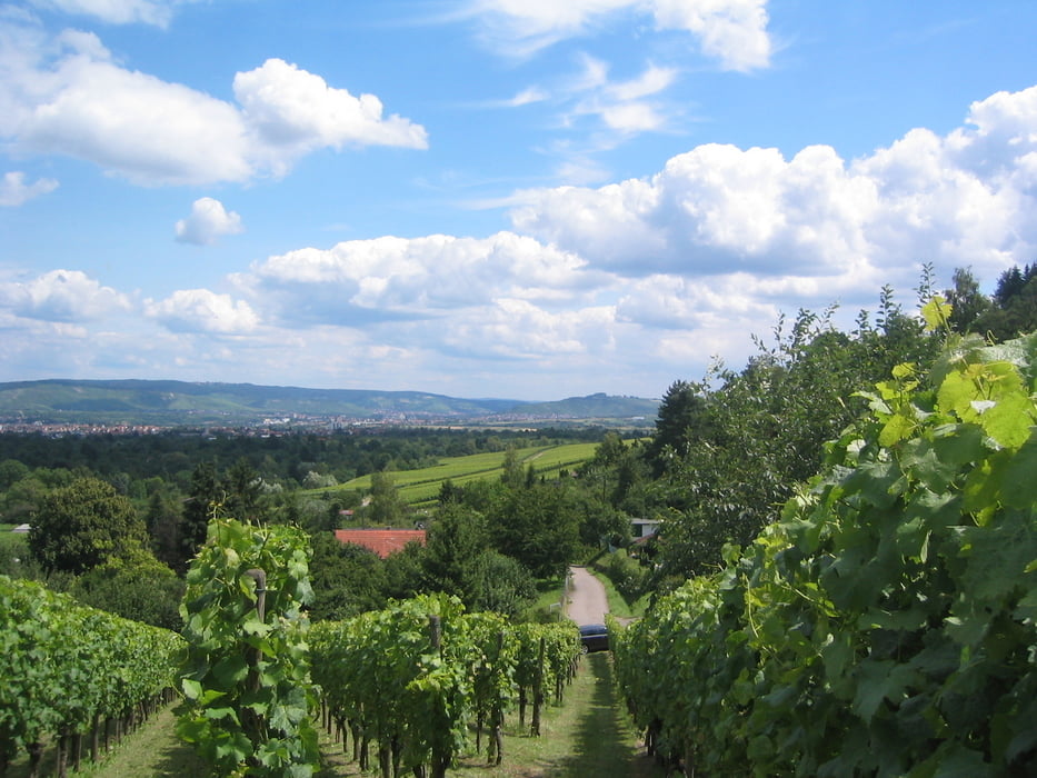
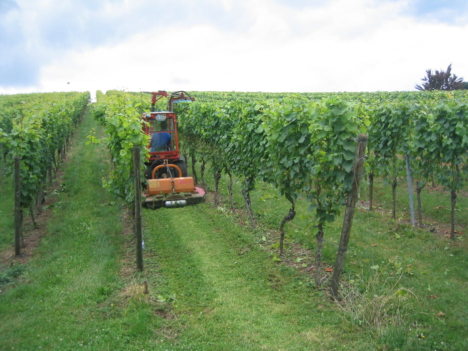
Reben und Obstbauwiesen-Tour Zwischen Cannstatt und Endersbach. Schöne Sicht aufs Stuttgarter Stadion sowie die umliegenden Weindörfer Uhlbach und Luginsland. Außerdem gehts öfters durch gut gepflegte Kleingartenanlagen.
Fazit: Einfache, entspannende Tour, gewürzt mit einer reizvollen Sicht auf Rems und Neckartal.
Tour gallery
Tour map and elevation profile
Minimum height 219 m
Maximum height 366 m
More about the tour author

|
Guddy |
Comments

Mit dem Auto bis Bahnhof Stetten-Beinstein bei Endersbach. Ab dort mit der SB-Bahn Richtung Stuttgart bis NürnbergerStraße, von wo die Tour zurück zum Ausgansgpunkt beginnt.
GPS tracks
Trackpoints-
GPX / Garmin Map Source (gpx) download
-
TCX / Garmin Training Center® (tcx) download
-
CRS / Garmin Training Center® (crs) download
-
Google Earth (kml) download
-
G7ToWin (g7t) download
-
TTQV (trk) download
-
Overlay (ovl) download
-
Fugawi (txt) download
-
Kompass (DAV) Track (tk) download
-
Track data sheet (pdf) download
-
Original file of the author (gpx) download
More about the tour author
|
|
Guddy |
Add to my favorites
Remove from my favorites
Edit tags
Open track
My score
Rate