


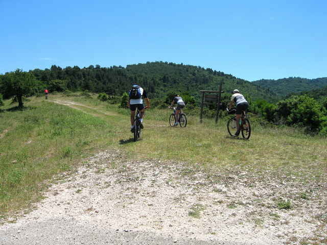
Herrliche Tour über almenähnliches Gelände mit schönen Blicken auf die Küste. Vor dem höchsten Punkt, grobschottriger Aufstieg mit kurzer Schiebepassage. Lange Abfahrt durch den Foresta Umbra und rießigen Olivenhainen nach Vieste. Zurück zum Ausgangspunkt an der Küstenstrasse.
Tour gallery
Tour map and elevation profile
Minimum height 4 m
Maximum height 560 m
More about the tour author

|
Elias Laar |
Comments
Beginn an der Küstenstrasse von Vieste nach Peschici (ca. 8 km nach Vieste )am Abzweig zur Strasse SS 89 , oder Einstieg irgendwo an der Küstenstrasse westlich von Vieste.
GPS tracks
Trackpoints-
GPX / Garmin Map Source (gpx) download
-
TCX / Garmin Training Center® (tcx) download
-
CRS / Garmin Training Center® (crs) download
-
Google Earth (kml) download
-
G7ToWin (g7t) download
-
TTQV (trk) download
-
Overlay (ovl) download
-
Fugawi (txt) download
-
Kompass (DAV) Track (tk) download
-
Track data sheet (pdf) download
-
Original file of the author (g7t) download
More about the tour author
|
|
Elias Laar |
Add to my favorites
Remove from my favorites
Edit tags
Open track
My score
Rate
Allgäu oder Gargano?
Viele Kühe, Olivenhaine, super Ausblicke.
Ohne diesen Track hätten wir das wunderschöne Hinterland wohl nicht kennengelernt.
Sehr lohnende Tour für zwischendurch mit atemberaubender Landschaft.