
")

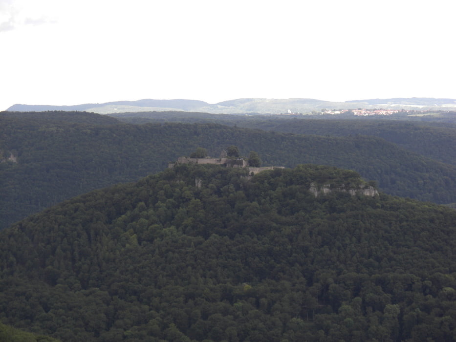
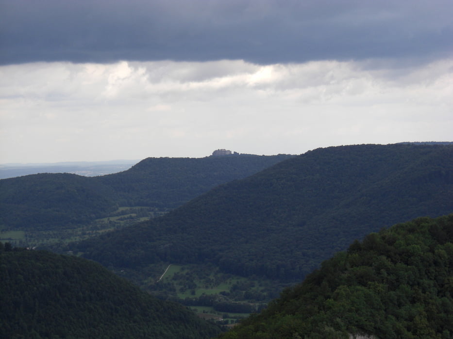
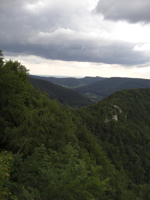
Die Tour führt in zum Hohen Urach, Rutscherfelsen, Höllenlöcher und Hohenneuffen. Als Anfahrt wurde das Tiefenbachtal und der Beurener Fels gewählt, da wir uns hier noch mit anderen Bikern getroffen haben.
Further information at
http://www.rkvdenkendorf.de/Tour gallery
Tour map and elevation profile
Minimum height 260 m
Maximum height 797 m
More about the tour author

|
paperwork |
Comments

Gestartet sind wir im Zentrum von Denkendorf am Rathaus. Hier gibt es auch ein kleines Parkhaus unterhalb des Rathauses, wo man sein Auto abstellen kann. Zusätzlich finden sich weitere Parkmöglichkeiten in der Löcherhaldenstraße vor der Halle des RKV Denkendorf.
Es ist weiterhin möglich an jedem beliebigen Teil des Tiefenbachtals in die Tour einzusteigen bzw. wieder auszusteigen.
GPS tracks
Trackpoints-
GPX / Garmin Map Source (gpx) download
-
TCX / Garmin Training Center® (tcx) download
-
CRS / Garmin Training Center® (crs) download
-
Google Earth (kml) download
-
G7ToWin (g7t) download
-
TTQV (trk) download
-
Overlay (ovl) download
-
Fugawi (txt) download
-
Kompass (DAV) Track (tk) download
-
Track data sheet (pdf) download
-
Original file of the author (gpx) download
More about the tour author
|
|
paperwork |
Add to my favorites
Remove from my favorites
Edit tags
Open track
My score
Rate