


Hallo an alle Freunde der gröberen Profile,
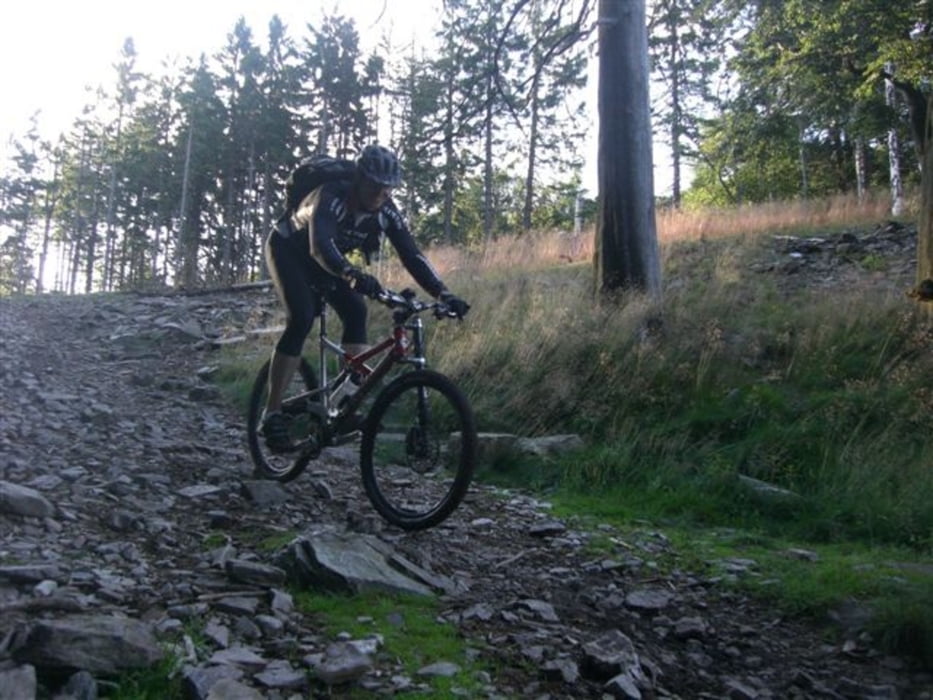
Eine sehr schöne und traillastige Runde vom Parkplatz Hohemark aus um und über den Großen Feldberg im Taunus.
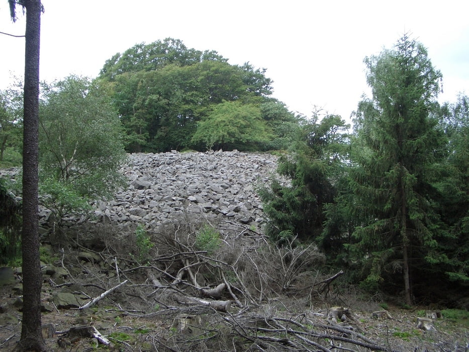
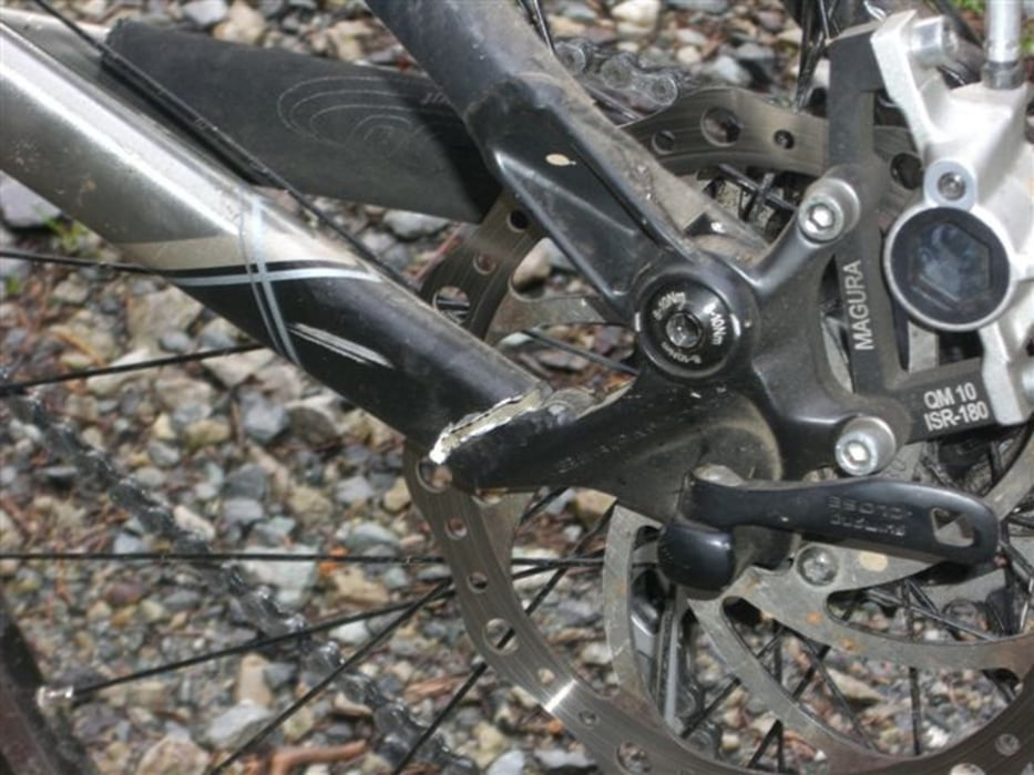
Achtung : Einige Trail-Abschnitte sind nicht für jedermann und auch
nicht für jedes Bike (siehe Bild der gebrochenen Schwinge !) geeignet !
Viel Spaß dabei !
Grüße und ein langes Leben wünscht
Klaus (Big-Uphill-L)
Stationen: Hohemark, Weisse Mauer, Großer Feldberg, Römerkastell, Rotes Kreuz, Naturfreundehaus, Billtal, Reichenbachtal, Altkönig, Hohemark
Further information at
http://fotos.mtb-news.de/photosets/view/19632Tour gallery

Tour map and elevation profile
Minimum height 302 m
Maximum height 872 m
More about the tour author
|
|
klausemann |
Comments

Von Bad Homburg aus Richtung Großer Feldberg und dann zur Hohemark abfahren.
Hier auf dem kleinen Parkplatz am Waldrand parken und starten !
GPS tracks
Trackpoints-
GPX / Garmin Map Source (gpx) download
-
TCX / Garmin Training Center® (tcx) download
-
CRS / Garmin Training Center® (crs) download
-
Google Earth (kml) download
-
G7ToWin (g7t) download
-
TTQV (trk) download
-
Overlay (ovl) download
-
Fugawi (txt) download
-
Kompass (DAV) Track (tk) download
-
Track data sheet (pdf) download
-
Original file of the author (gpx) download
More about the tour author
|
|
klausemann |
Add to my favorites
Remove from my favorites
Edit tags
Open track
My score
Rate