


Die Wanderung führt in den Naturpark Gran Paradiso. Leider ist kein Rundwanderweg möglich, so dass man entweder eine Mehrtagestour planen muss oder auf demselben Weg wieder zurück muss.
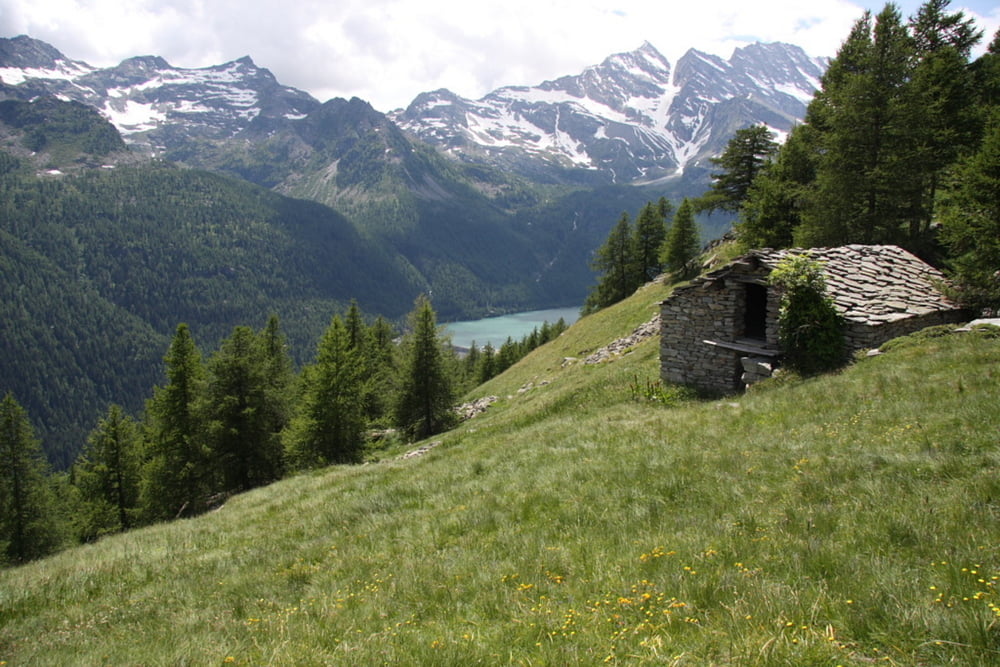
Die Wanderung startet am besten am Stausee Lago di Ceresole. Dort gibt es auch div. Überbnachtungsmöglichkeiten.
Von dort leicht bergab bis kurz vor den 2 Kehren. hier sind Wegweiser zu einigen Wanderungen in der Umgebung. Der weite Weg ist gut markiert und in der Regel befestigt. Trotzdem ist gutes Schuhwerk unbedingt erforderlich.
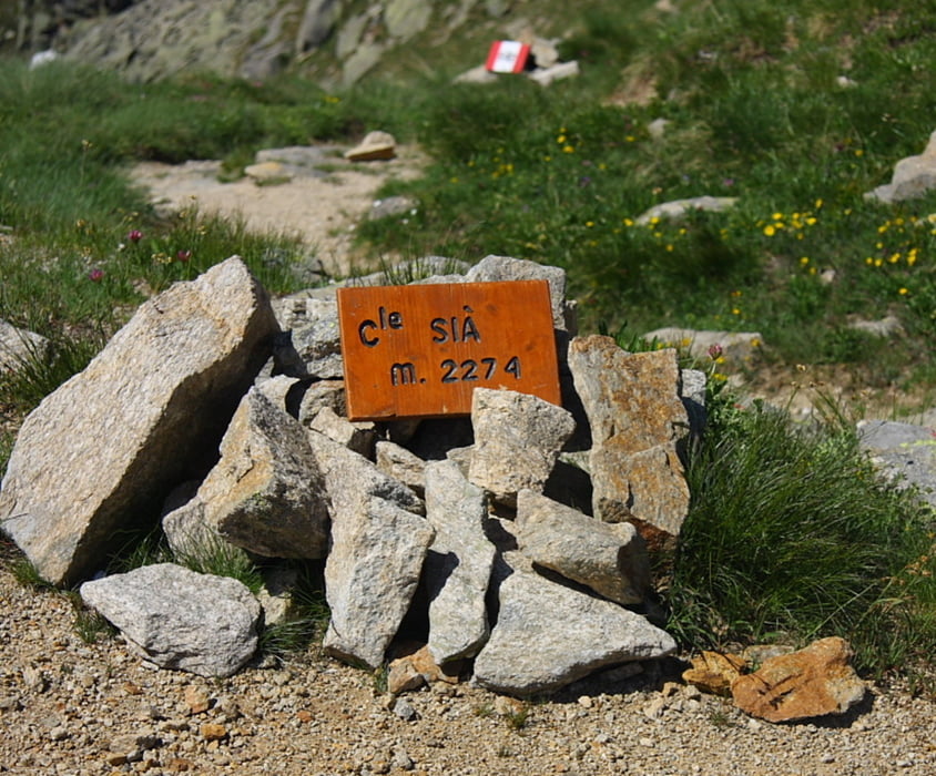
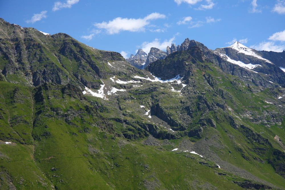
Anfangs durch den Bergwald bergauf und ab ca. 2000m dann weiter bergauf zum Colle Sia. hier eine schöne Aussicht ins Tal.
Es besteht die Möglichkeit die Wanderung weiter in Richtung des Naturparks auszudehnen, ich musste jedoch abbrechen, da relatuv grosse Schneefelder zu passieren waren.
Tour gallery
Tour map and elevation profile
Minimum height 1544 m
Maximum height 2280 m
More about the tour author

|
stpehu |
Comments

Von Turin über Cuorgne Richtung Naturpark Gran Paradiso. Parkmöglichkeit am Stausee Lago di Ceresole.
GPS tracks
Trackpoints-
GPX / Garmin Map Source (gpx) download
-
TCX / Garmin Training Center® (tcx) download
-
CRS / Garmin Training Center® (crs) download
-
Google Earth (kml) download
-
G7ToWin (g7t) download
-
TTQV (trk) download
-
Overlay (ovl) download
-
Fugawi (txt) download
-
Kompass (DAV) Track (tk) download
-
Track data sheet (pdf) download
-
Original file of the author (gpx) download
More about the tour author
|
|
stpehu |
Add to my favorites
Remove from my favorites
Edit tags
Open track
My score
Rate