Login

Forgot your login?

Cookies have to be accepted!
Your browser's cookie functionality is disabled. Please enable this functionality.

Not a member yet?

Register now
Login

Available for registred users only

Log in to use this feature.

Forgot your login?

Cookies have to be accepted!
Your browser's cookie functionality is disabled. Please enable this functionality.

Not a member yet?

Register now
Filter
Categories
Advanced filters
  • Distance (km)
  • Height
Save filters Reset filter

TrackRank

QRCode

Technical data

Distance52,0 km Height215 m Way down228 m Duration02:36 h:m Date16.07.2009
Scores Author Landscape Fun factor Fitness Technique

Statistics

355 Views Scores 52 Downloads Average
Rate
  • Track data sheet
  • Directions
  • Downloads
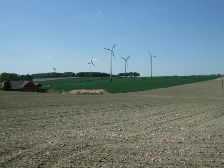
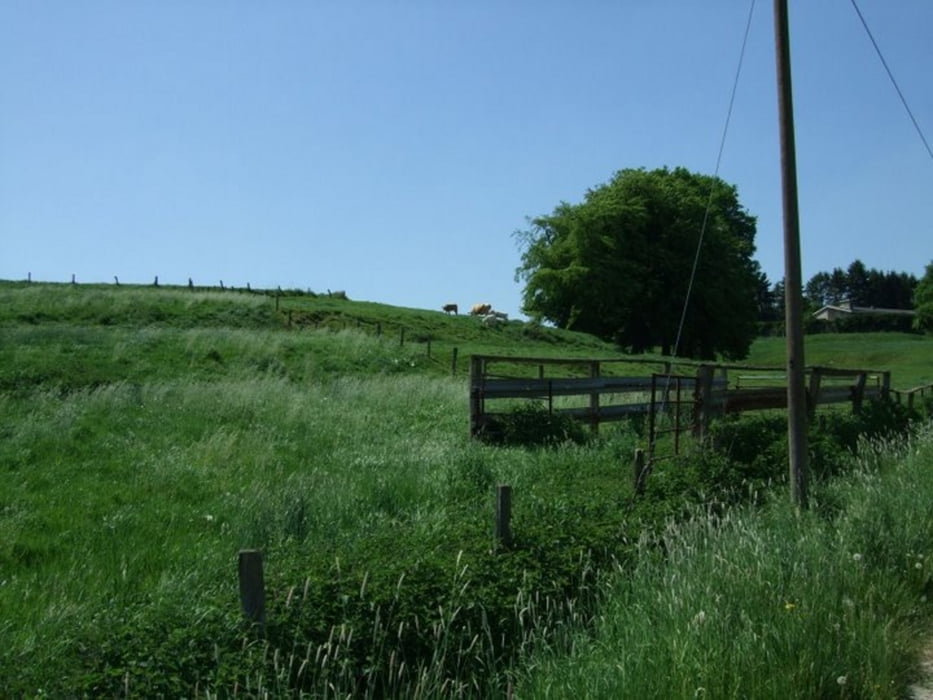
eine fast reine Straßentour - bis auf ein kleines Waldstück am Ende - kann also auch mit dem Rennrad gefahren werden - eine Feierabendtour, die sich herrlich dazu eignet mal schnell nach der Arbeit abschalten zu können....

Tour gallery

Tour map and elevation profile

  • Open Street Map
  • Google
Minimum height 62 m Maximum height 189 m Detailed view

More about the tour author

heikes
Member since 2009

Send private message

Comments

Anfahrt hatte ich keine - also von der Haustür aus - wer sie aber nachfahren möchte, der sollte in Ottmarsbocholt am Parkplatz Hölschers Kuhle starten - das ist in unmittelbarer Nähe der Kirche.

GPS tracks

Trackpoints
  • GPX / Garmin Map Source (gpx) download
  • TCX / Garmin Training Center® (tcx) download
  • CRS / Garmin Training Center® (crs) download
  • Google Earth (kml) download
  • G7ToWin (g7t) download
  • TTQV (trk) download
  • Overlay (ovl) download
  • Fugawi (txt) download
  • Kompass (DAV) Track (tk) download
  • Track data sheet (pdf) download
  • Original file of the author (gpx) download

More about the tour author

heikes
Member since 2009

Send private message
Share track
Add to my favorites
Remove from my favorites
Edit tags
My score
Rate
Track: von Otti bis zum Longiusturm
Type: Mountain bike
Distance: 52,0 km
Evaluated on:
Duration:
Day(s)
Hour(s)
Minute(s)
Score: Landscape Fun factor Fitness Technique