


Kombinierte Mountainbike-Wandern-Tour
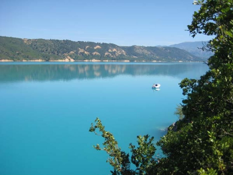
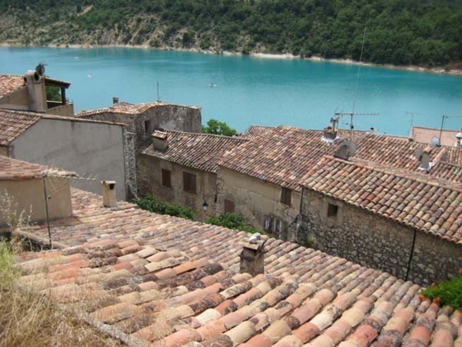
Start in Les Salles-sur Verdon am Lac de Ste Croix.
Mit dem Rad nach Süden auf der D975, dann Abzweig auf GR 99 Richtung See (Markierung: weiß/rot). Nach 1,3 km verstecken wir die Räder im Busch.
(Man kann noch ca. 2,5 km weiter mit dem Rad am Ufer entlang fahren, doch dann wird es schwierig bzw. unmöglich. Stellenweise muss man über Felsen klettern!)
Also Wanderung zu Fuß am See entlang GR 99B nach Bauduen.
Danach über den Berg auf GR 99A (weiß/rot) bis auf 697 M ü. M.
Steiniger Abstieg zurück zum Versteck der MTBs und Rückfahrt nach Les Salles-sur Verdon.
Tour gallery

Tour map and elevation profile
Minimum height 478 m
Maximum height 698 m
More about the tour author
|
|
haelge |
Comments

GPS tracks
Trackpoints-
GPX / Garmin Map Source (gpx) download
-
TCX / Garmin Training Center® (tcx) download
-
CRS / Garmin Training Center® (crs) download
-
Google Earth (kml) download
-
G7ToWin (g7t) download
-
TTQV (trk) download
-
Overlay (ovl) download
-
Fugawi (txt) download
-
Kompass (DAV) Track (tk) download
-
Track data sheet (pdf) download
-
Original file of the author (gpx) download
More about the tour author
|
|
haelge |
Add to my favorites
Remove from my favorites
Edit tags
Open track
My score
Rate