
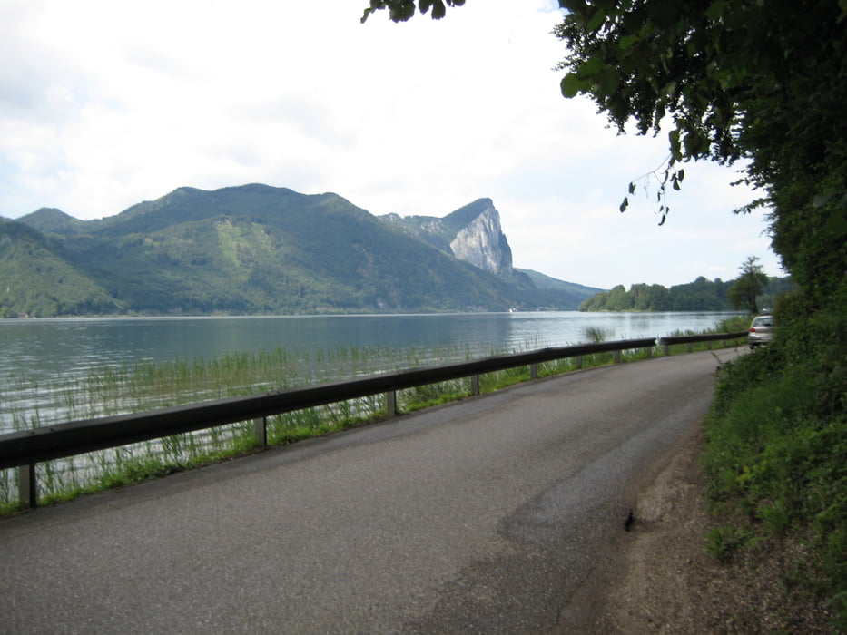

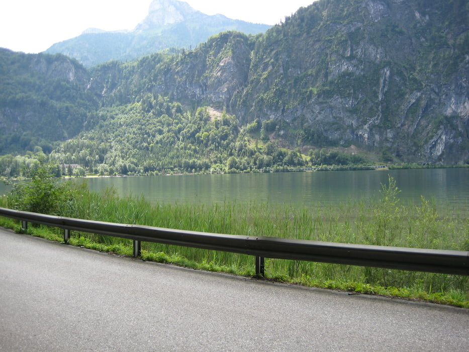
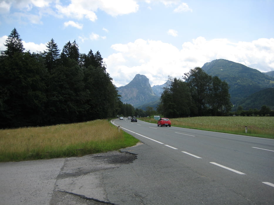
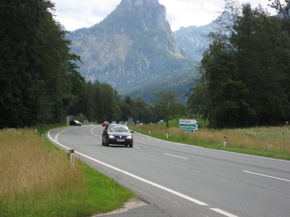
Ich habe die Dreiseenrunde in Seewalchen am Attersee begonnen, habe meinen Weg über Unterach in Richtung Mondsee und St. Lorenz bis St. Gilgen fortgesetzt .
Von dort ging es entlang des Wolfgangsees bis Bad Ischl, Mitterweißenbach und nach Weißenbach zurück über Steinbach, Weyregg bis zum Ausgangspunkt Seewalchen. Diese Runde ist bei normaler Kondition und etwas Ausdauer sehr schön zu fahren, da sie keine besonderen Steigungen aufweist.
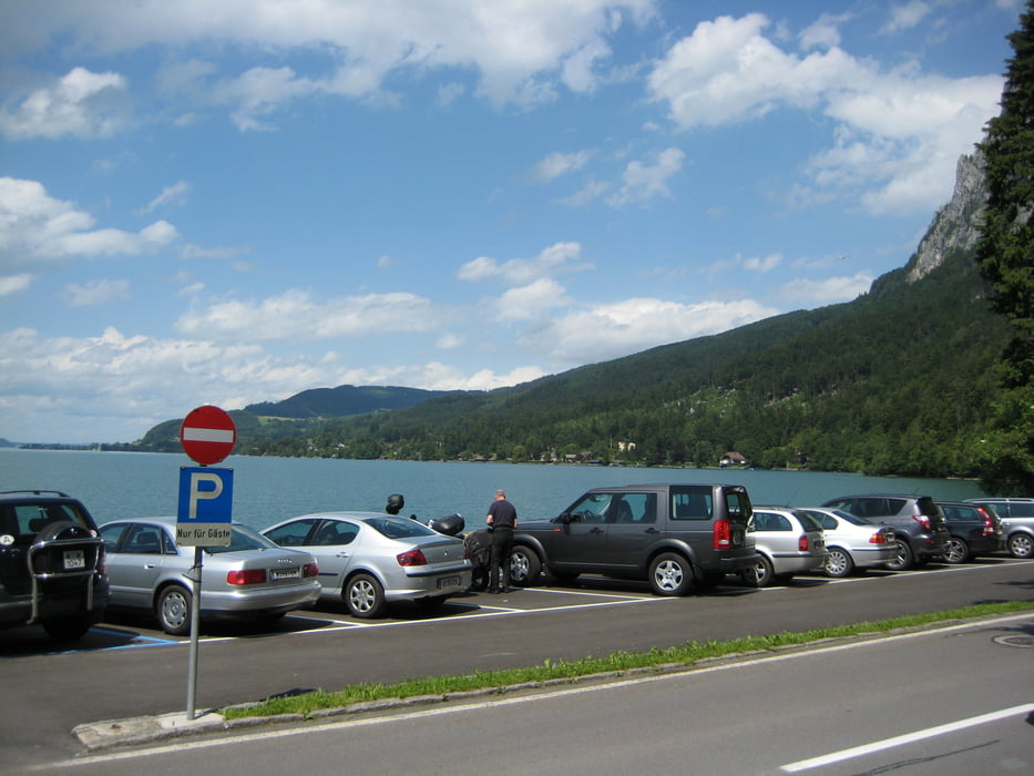
Tour gallery
Tour map and elevation profile
Minimum height 444 m
Maximum height 638 m
More about the tour author

|
rudiinternet |
Comments

GPS tracks
Trackpoints-
GPX / Garmin Map Source (gpx) download
-
TCX / Garmin Training Center® (tcx) download
-
CRS / Garmin Training Center® (crs) download
-
Google Earth (kml) download
-
G7ToWin (g7t) download
-
TTQV (trk) download
-
Overlay (ovl) download
-
Fugawi (txt) download
-
Kompass (DAV) Track (tk) download
-
Track data sheet (pdf) download
-
Original file of the author (gpx) download
More about the tour author
|
|
rudiinternet |
Add to my favorites
Remove from my favorites
Edit tags
Open track
My score
Rate