


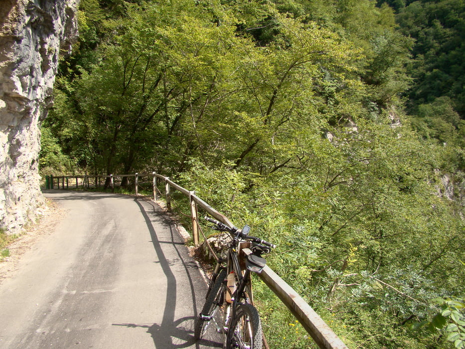
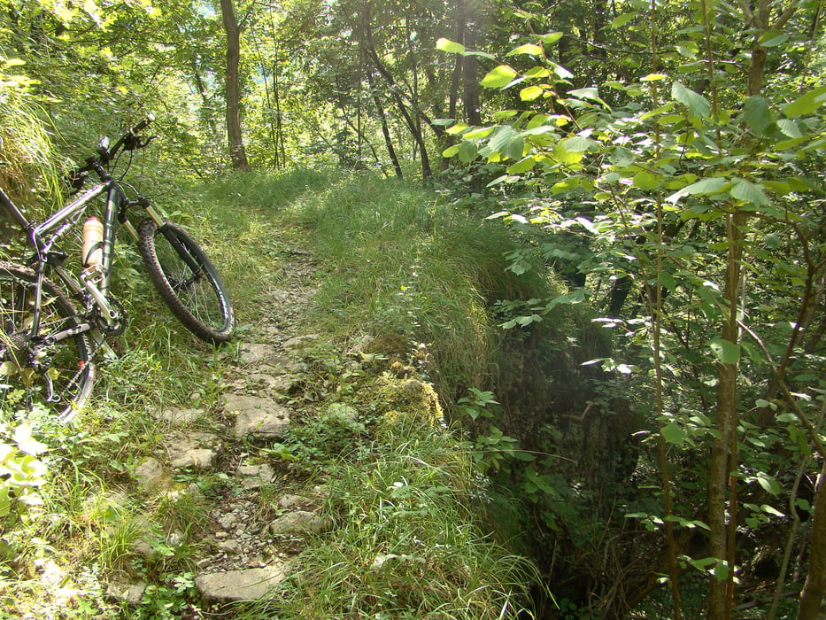
Izhodiščna točka je Tolmin,pot nadaljujemo skozi Tolminska korita,po makedamski cesti in mulatjeri do edine ceste na Tolminske Ravne.Pot je 95% vozna.
Tour gallery
Tour map and elevation profile
Minimum height 179 m
Maximum height 1327 m
More about the tour author
|
|
caperos |
Comments
GPS tracks
Trackpoints-
GPX / Garmin Map Source (gpx) download
-
TCX / Garmin Training Center® (tcx) download
-
CRS / Garmin Training Center® (crs) download
-
Google Earth (kml) download
-
G7ToWin (g7t) download
-
TTQV (trk) download
-
Overlay (ovl) download
-
Fugawi (txt) download
-
Kompass (DAV) Track (tk) download
-
Track data sheet (pdf) download
-
Original file of the author (gpx) download
More about the tour author
|
|
caperos |
Add to my favorites
Remove from my favorites
Edit tags
Open track
My score
Rate
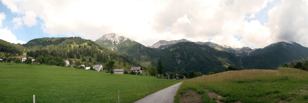
Planina Razor
I had to go uphill a steep path (that would have been a very nice single trail downhill) and I went downhill long and boring dirt and later asphalt road. Uphill I had to push the bike quite a few times, and downhill, my fingers got numb due to breaking.
I would recommend any other bikers to do the tour anticlock-wise to enjoy a nice and long single trail downhill (S1 with some passages of S2).