
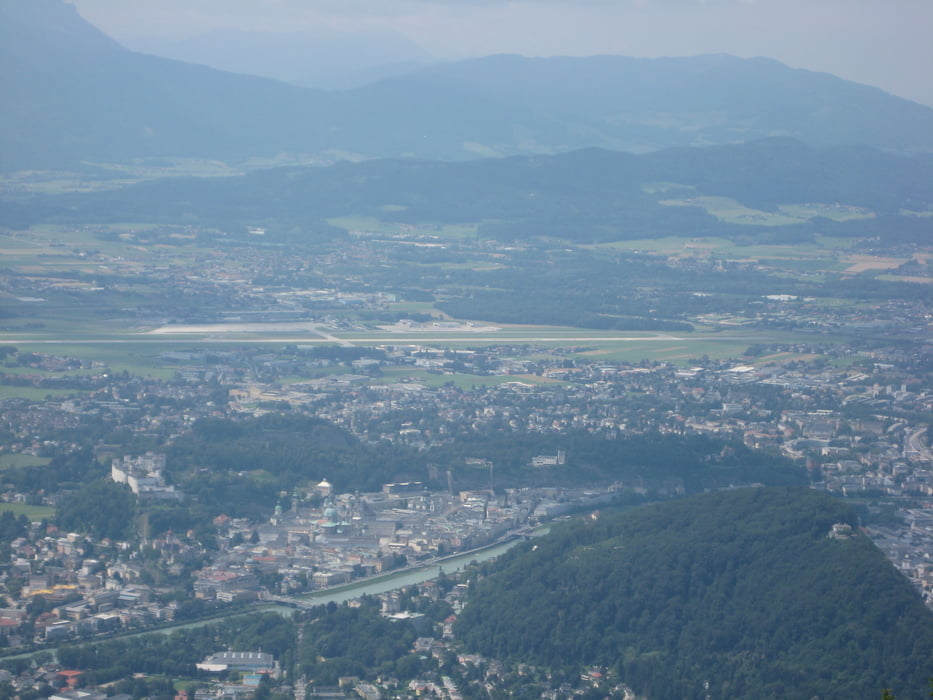

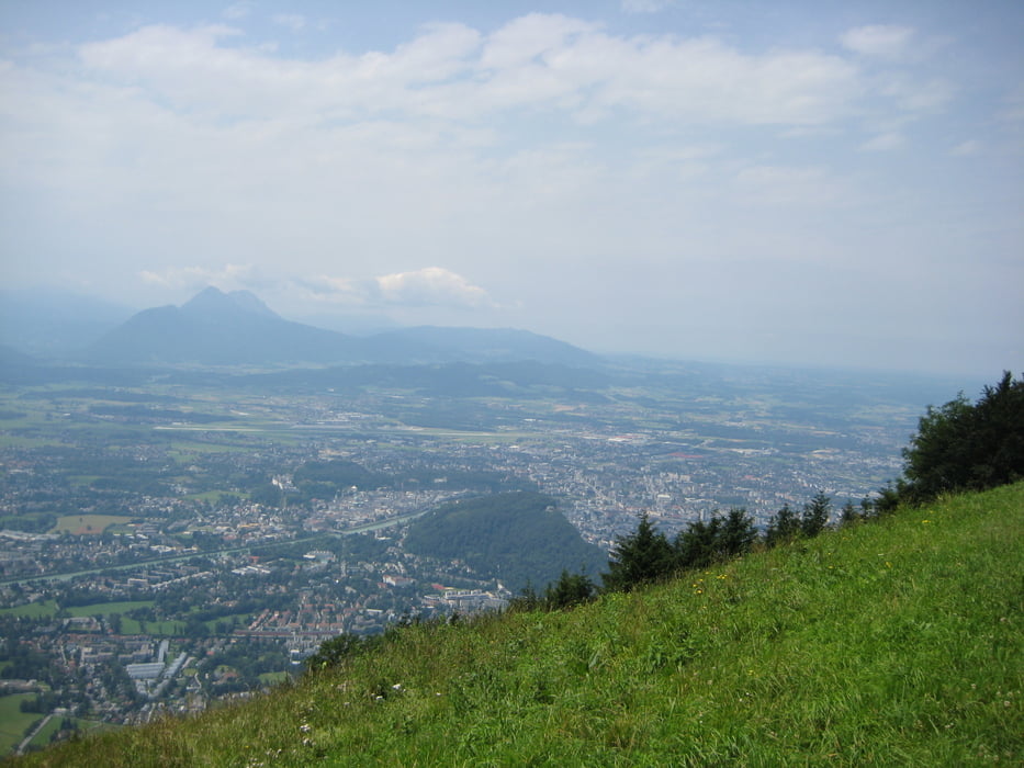
Ich habe die Tour vom Guggenthal aus begonnen und bin über die B158 bis zur Abzweigung Gaisberg und von dort bis zur Zistelalm und zum Gipfel gefahren. Die Auffahrt ist sehr angenehm da nicht besonders steil. Man hat auf einem Großteil der Strecke immer wieder einen wunderschönen Blick auf die Stadt Salzburg und am Gipfel einen ebenso beeindruckenden Rundblick bis weit nach Oberösterreich.
Tour gallery


Tour map and elevation profile
Minimum height 559 m
Maximum height 1297 m
More about the tour author

|
rudiinternet |
Comments

Anfahrt über die Westautobahn Abfahrt Salzburg Nord dann die B150 Vogelweiderstr. weiter auf die B158 weiter bis zum Minnesheimpark, allerdings ist dort schwer ein Parkplatz zu finden.
GPS tracks
Trackpoints-
GPX / Garmin Map Source (gpx) download
-
TCX / Garmin Training Center® (tcx) download
-
CRS / Garmin Training Center® (crs) download
-
Google Earth (kml) download
-
G7ToWin (g7t) download
-
TTQV (trk) download
-
Overlay (ovl) download
-
Fugawi (txt) download
-
Kompass (DAV) Track (tk) download
-
Track data sheet (pdf) download
-
Original file of the author (gpx) download
More about the tour author
|
|
rudiinternet |
Add to my favorites
Remove from my favorites
Edit tags
Open track
My score
Rate