Login

Forgot your login?

Cookies have to be accepted!
Your browser's cookie functionality is disabled. Please enable this functionality.

Not a member yet?

Register now
Login

Available for registred users only

Log in to use this feature.

Forgot your login?

Cookies have to be accepted!
Your browser's cookie functionality is disabled. Please enable this functionality.

Not a member yet?

Register now
Filter
Categories
Advanced filters
  • Distance (km)
  • Height
Save filters Reset filter

TrackRank

QRCode

Technical data

Distance20,3 km Height1148 m Way down1145 m Duration07:30 h:m Date19.07.2009
Scores Author Landscape Fun factor Fitness Technique

Statistics

511 Views 1 Score 183 Downloads 5.00 Average
Rate
  • Track data sheet
  • Directions
  • Downloads

Die Tour startet gleich nach der Kreuzung der beiden Strassen TF-21 / TF-38.

Sonnenschutz und viel zu trinken nicht vergessen.
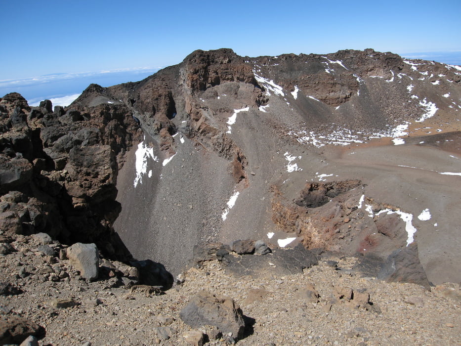
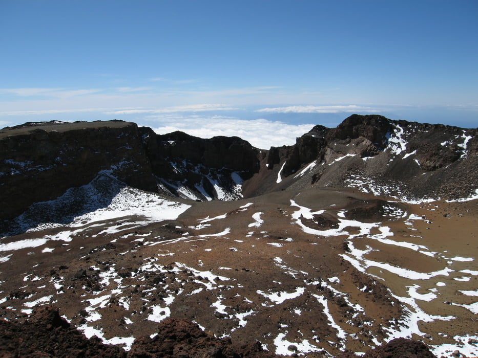
Tour gallery

Tour map and elevation profile

  • Open Street Map
  • Google
Minimum height 2050 m Maximum height 3151 m Detailed view

More about the tour author

morati
Member since 2008

Send private message

Comments

GPS tracks

Trackpoints
  • GPX / Garmin Map Source (gpx) download
  • TCX / Garmin Training Center® (tcx) download
  • CRS / Garmin Training Center® (crs) download
  • Google Earth (kml) download
  • G7ToWin (g7t) download
  • TTQV (trk) download
  • Overlay (ovl) download
  • Fugawi (txt) download
  • Kompass (DAV) Track (tk) download
  • Track data sheet (pdf) download
  • Original file of the author (gpx) download

More about the tour author

morati
Member since 2008

Send private message
Share track
Add to my favorites
Remove from my favorites
Edit tags
My score
Rate
Track: Boca Tauce auf den Pico Viejo
Type: Mountain hiking
Distance: 20,3 km
Evaluated on:
Duration:
Day(s)
Hour(s)
Minute(s)
Score: Landscape Fun factor Fitness Technique