


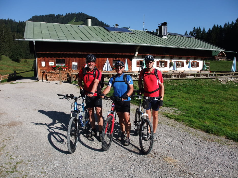
Tourstart ist in Piesenkam am Maibaum
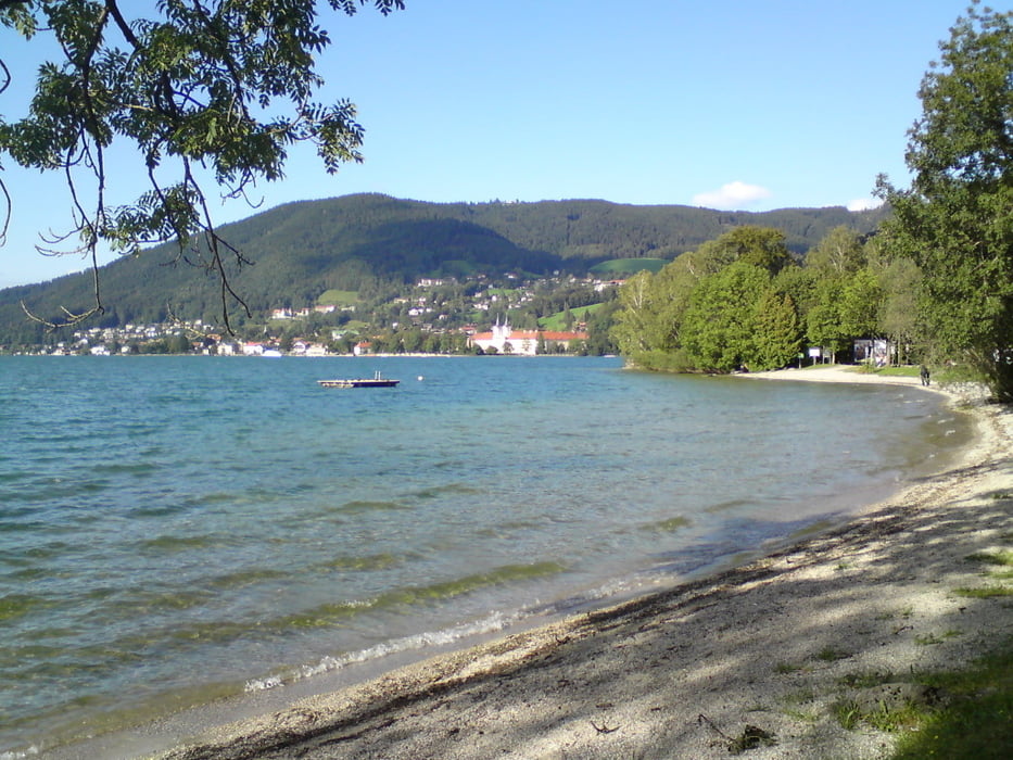
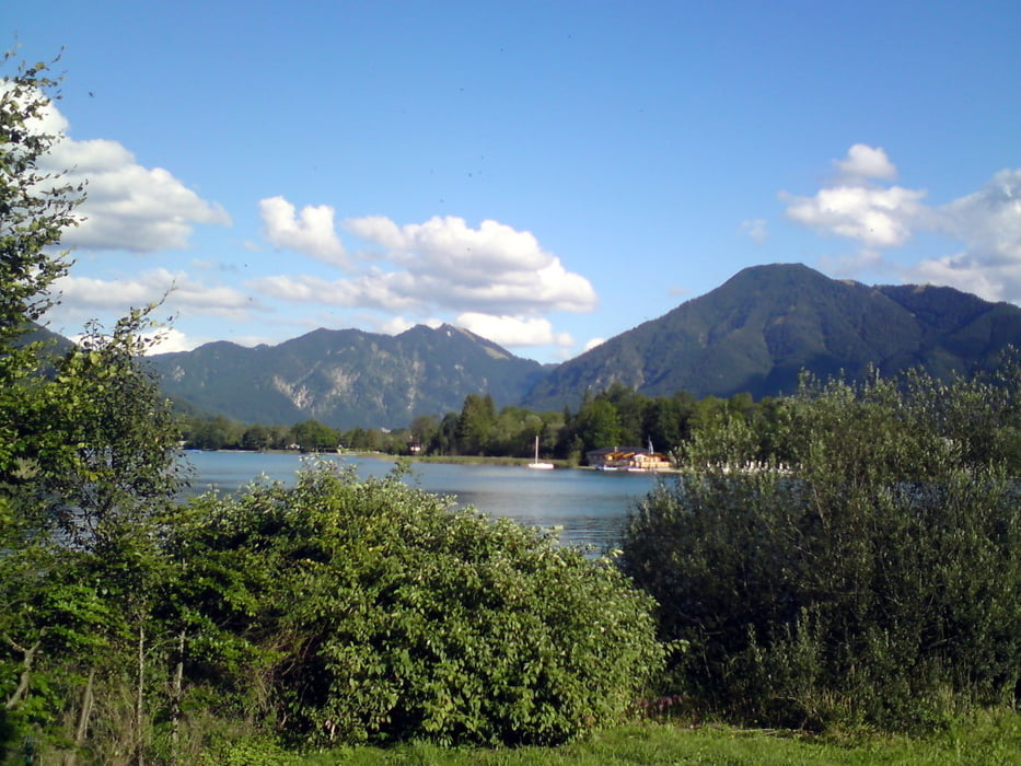
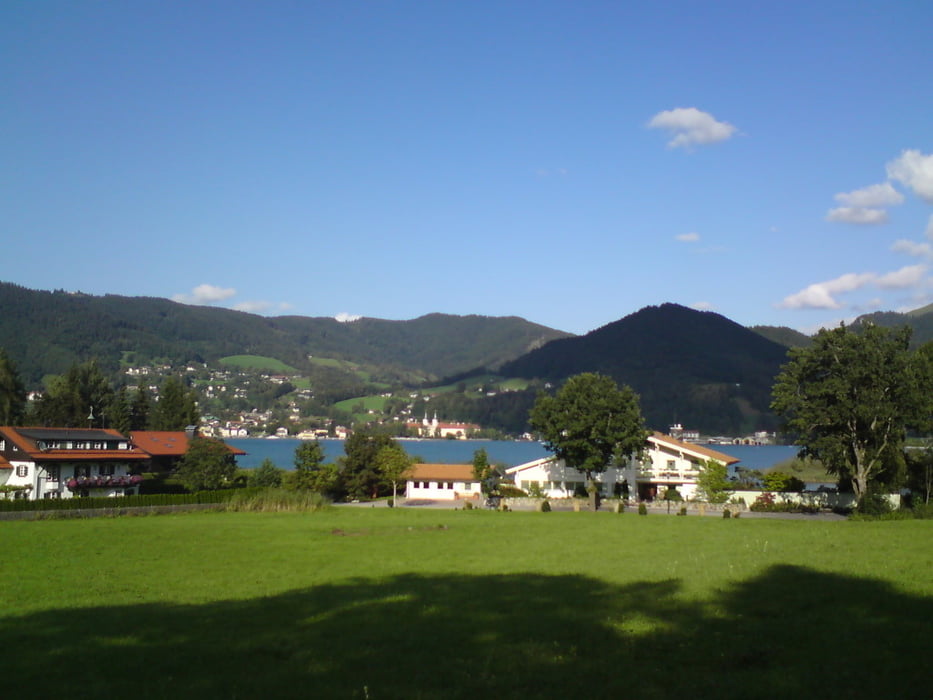
die sehr abwechslungsreiche Tour verläuft auf der Hauptstrasse nach Schaftlach ; Kammerloherkreuzung ; ab Hauserdörfldann auf dem Radweg Richtung Finsterwald über Holz nach Bad Wiessee, ins Söllbachtal. Am Söllbach entlang hoch zur Schwarzentenn, dort wäre die erste lohnenswerte Einkehrmöglichkeit, danach abwärts Richtung Kreuth -Siebenhütten. ( 2. Einkehrmöglichkeit ) Zurück fährt man auf Wander und Radwegen amTegernsee vorbei ( 3.und 4. Einkermöglichkeit Fährhütte am Ringsee bzw. Standbad in Kaltenbrunn ) über Finsterwald ; Moosrain ; Rieder ; Schaftlach nach Piesenkam.
Tour gallery
Tour map and elevation profile
Minimum height 700 m
Maximum height 1054 m
More about the tour author

|
bmwmai |
Comments

GPS tracks
Trackpoints-
GPX / Garmin Map Source (gpx) download
-
TCX / Garmin Training Center® (tcx) download
-
CRS / Garmin Training Center® (crs) download
-
Google Earth (kml) download
-
G7ToWin (g7t) download
-
TTQV (trk) download
-
Overlay (ovl) download
-
Fugawi (txt) download
-
Kompass (DAV) Track (tk) download
-
Track data sheet (pdf) download
-
Original file of the author (gpx) download
More about the tour author
|
|
bmwmai |
Add to my favorites
Remove from my favorites
Edit tags
Open track
My score
Rate