

Der Aufstieg führt über ausgewaschene Lehmwege (nicht bei Nässe zu empfehlen)
durch eine fast urwaldähnliche Landschaft. Der anschliessende Höhenweg oberhalb des Orotavatals
hat wenige Höhenmeter und führt über Schotter. Wer nicht, wie aufgezeichnet, den gleichen Weg zurück fahren
möchte, kann kurz vor dem Wendepunkt der Tour ca. 250hm bergauf in Richtung Teide fahren. Von dort geht es
über "R.Machado" und "Cruz de Luis" zurück zum Ausgangspunkt.
Tour gallery

Tour map and elevation profile
Minimum height 45 m
Maximum height 1230 m
More about the tour author

|
Comments
GPS tracks
Trackpoints-
GPX / Garmin Map Source (gpx) download
-
TCX / Garmin Training Center® (tcx) download
-
CRS / Garmin Training Center® (crs) download
-
Google Earth (kml) download
-
G7ToWin (g7t) download
-
TTQV (trk) download
-
Overlay (ovl) download
-
Fugawi (txt) download
-
Kompass (DAV) Track (tk) download
-
Track data sheet (pdf) download
-
Original file of the author (g7t) download
More about the tour author
|
|
Add to my favorites
Remove from my favorites
Edit tags
Open track
My score
Rate
Spaß gehabt
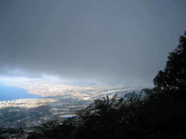
bin dieser Tage die Strecke nachgefahren. Nette Strecke auf "halber Hanghöhe" meist im Wald. Ich hatte leider den typischen Nebel so, dass ich vo den vielen Ausblicken weniger hatte :-(
Ansonsten bin ich jedoch die TF21 vonPuerto de la Cruz aus nach Aguamansa als Uphill rauf. Und dann wie in Tour Nr 2644 beschrieben zurück. So ergab das ganze ein Rundtour mit 55km u. 1400hm.
Eine Super Tour wäre die Strecke mit der Tour Nr. 4816 zu verknüpfen. Dann wäre die Runde aus meiner Sicht perfekt!