Login

Forgot your login?

Cookies have to be accepted!
Your browser's cookie functionality is disabled. Please enable this functionality.

Not a member yet?

Register now
Login

Available for registred users only

Log in to use this feature.

Forgot your login?

Cookies have to be accepted!
Your browser's cookie functionality is disabled. Please enable this functionality.

Not a member yet?

Register now
Filter
Categories
Advanced filters
  • Distance (km)
  • Height
Save filters Reset filter

TrackRank

QRCode

Technical data

Distance61,7 km Height2189 m Way down2202 m Duration05:00 h:m Date25.07.2009
Scores Author Landscape Fun factor Fitness Technique

Statistics

726 Views Scores 252 Downloads Average
Rate
  • Track data sheet
  • Directions
  • Downloads
Konditionell anstrengende Tour mit Schiebestück zum Gipfel/Hütte.Wir sind über Mori zurück den Radweg entlang da die Strecke ab St.Ciacomo durch den Wald schlicht zu Öde ist.

Tour map and elevation profile

  • Open Street Map
  • Google
Minimum height 58 m 
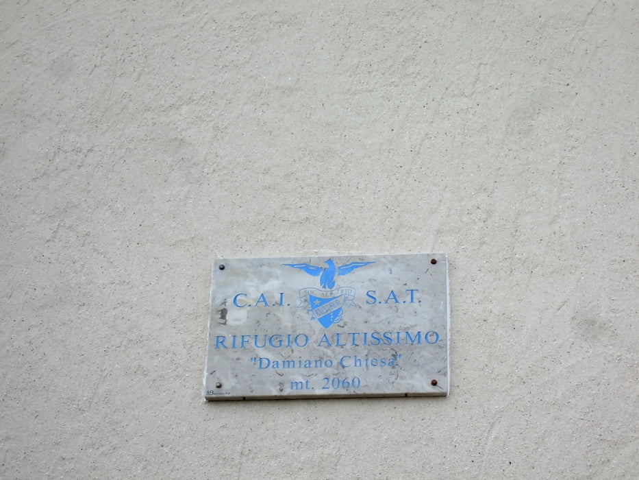
Maximum height 2061 m Detailed view

More about the tour author

canyonAL
Member since 2009

Send private message

Comments

GPS tracks

Trackpoints
  • GPX / Garmin Map Source (gpx) download
  • TCX / Garmin Training Center® (tcx) download
  • CRS / Garmin Training Center® (crs) download
  • Google Earth (kml) download
  • G7ToWin (g7t) download
  • TTQV (trk) download
  • Overlay (ovl) download
  • Fugawi (txt) download
  • Kompass (DAV) Track (tk) download
  • Track data sheet (pdf) download
  • Original file of the author (gpx) download

More about the tour author

canyonAL
Member since 2009

Send private message
Share track
Add to my favorites
Remove from my favorites
Edit tags
My score
Rate
Track: Altissimo 2009
Type: Mountain bike
Distance: 61,7 km
Evaluated on:
Duration:
Day(s)
Hour(s)
Minute(s)
Score: Landscape Fun factor Fitness Technique