

Diese Tour habe ich ohne vorherige Planung durchgeführt. Deswegen ist sie auch sehr durchwachsen: Sie enthält passagen auf Bundesstrassen oder führt durch ein Waldgebiet. Hier sind die ersten beiden Gefahrenstellen. es handelt sich um weiss-rote Stangen, die vertikal im Boden verankert sind. In einer Gruppe sollte man vorsichtig sein. Alleine allerdings kein Thema. Die Route fürt durch Georgsmarienhütte und Bad Iburg. Die dritte Gefahrenstelle habe ich markiert, weil man hier die Autobahnauffahrt kreuzt.
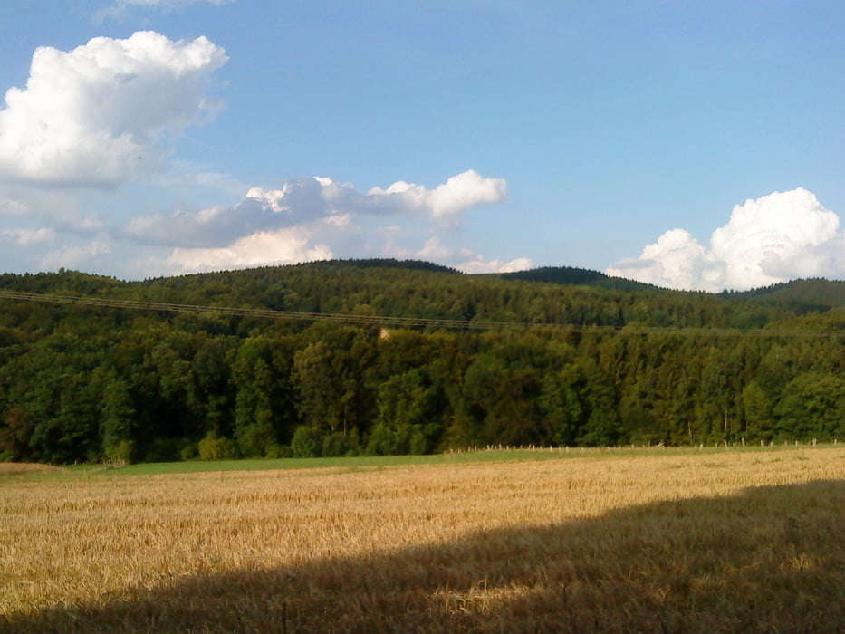
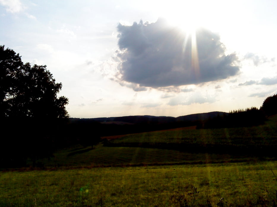
Tour gallery


Tour map and elevation profile
Minimum height 66 m
Maximum height 211 m
More about the tour author
|
|
Harm |
Comments

Gestartet bin ich an meinem Hotel in der Kokschen Strasse in OS.
GPS tracks
Trackpoints-
GPX / Garmin Map Source (gpx) download
-
TCX / Garmin Training Center® (tcx) download
-
CRS / Garmin Training Center® (crs) download
-
Google Earth (kml) download
-
G7ToWin (g7t) download
-
TTQV (trk) download
-
Overlay (ovl) download
-
Fugawi (txt) download
-
Kompass (DAV) Track (tk) download
-
Track data sheet (pdf) download
-
Original file of the author (gpx) download
More about the tour author
|
|
Harm |
Add to my favorites
Remove from my favorites
Edit tags
Open track
My score
Rate