
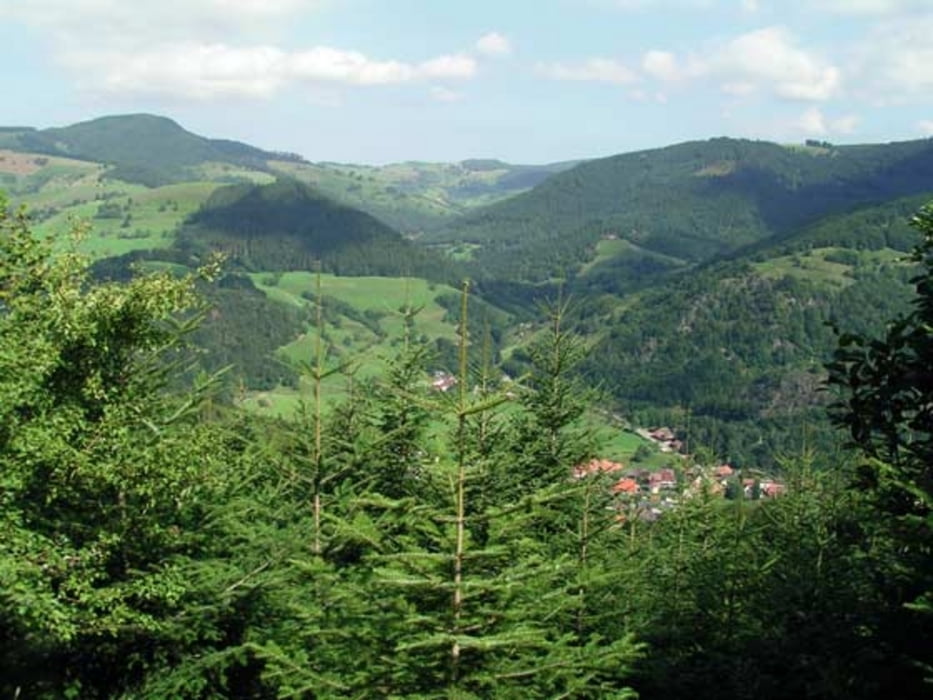

Ausgedehnte Runde durch den Nordschwarzwald. Schloss Eberstein, Rote Lache, Forbach, Hundsbach, Hundseck, Untersmatt, Bühlertal, Fremersberg, Baden-Baden/Altes Schloß, Ebersteinburg, Kuppenheim, Malsch, Ettlingen.
Fast ausschliesslich auf untergeordneten Strassen führt die Runde durch den nördlichen Schwarzwald. Teilweise ist der Strassenbelag nicht besonders gut, lässt sich aber trotzdem fahren.
Die Route wurde im wesentlichen ausgesteckt durch den RSV Concordia Forchheim anlässlich der Sommer RFT am 26.007.2009. Danke an den Verein, hat viel Spass gemacht.
Further information at
http://www.rsv-forchheim.de/Tour map and elevation profile
Minimum height 116 m
Maximum height 931 m
More about the tour author
|
|
tloewenb |
Comments

GPS tracks
Trackpoints-
GPX / Garmin Map Source (gpx) download
-
TCX / Garmin Training Center® (tcx) download
-
CRS / Garmin Training Center® (crs) download
-
Google Earth (kml) download
-
G7ToWin (g7t) download
-
TTQV (trk) download
-
Overlay (ovl) download
-
Fugawi (txt) download
-
Kompass (DAV) Track (tk) download
-
Track data sheet (pdf) download
-
Original file of the author (gpx) download
More about the tour author
|
|
tloewenb |
Add to my favorites
Remove from my favorites
Edit tags
Open track
My score
Rate