


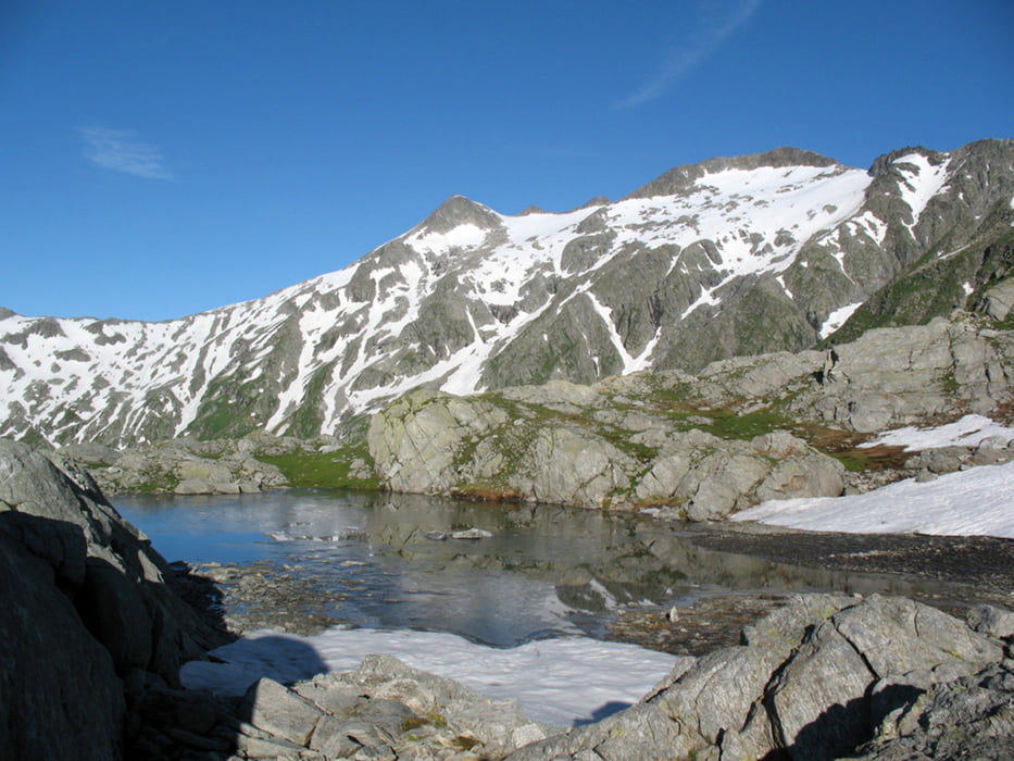
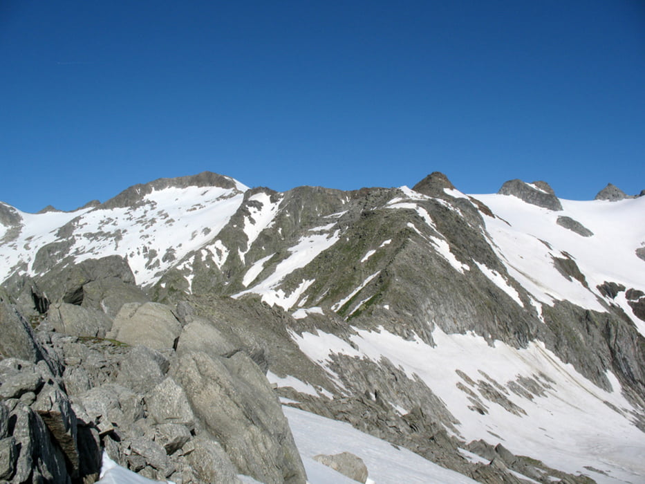
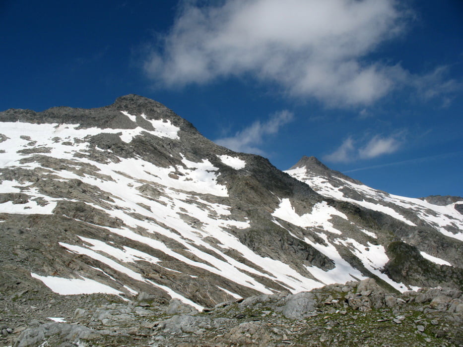
Alpe di Fontana S. Martino - Alpe di Camadra di Fuori - Alpe di Camadra di Dentro - Pian Geirett - Capanna Scaletta - Piano della Greina - F. Sura da Lavaz - Q2759 - Q2728 - Q2935 - Q2906 - Q3015 - Q3019 - Q3064 - Piz Medel - Vadrecc di Camadra - Cima di Camadra - Q2794 - Q2772 - Pass d'Uffiern - Pian Geirett - ... - Alpe di Fontana S. Martino
da fine giugno a fine settembre possibiltà di salire / scendere al / dal Pian Geirett con il bus alpin.
Orari: www.autolinee.ch/fileadmin/Orario_trekking_2009_2.pdf
Possibilità di pernottamento alla Capanna Scaletta www.capanneti.ch/scaletta/scaletta.html
Tour gallery

Tour map and elevation profile
Minimum height 1472 m
Maximum height 3210 m
More about the tour author

|
mitich61 |
Comments

Biasca - Olivone - Campo Bleno - Ghirone - Cozzera - Daigra - alpe di Fontana S. Martino
GPS tracks
Trackpoints-
GPX / Garmin Map Source (gpx) download
-
TCX / Garmin Training Center® (tcx) download
-
CRS / Garmin Training Center® (crs) download
-
Google Earth (kml) download
-
G7ToWin (g7t) download
-
TTQV (trk) download
-
Overlay (ovl) download
-
Fugawi (txt) download
-
Kompass (DAV) Track (tk) download
-
Track data sheet (pdf) download
-
Original file of the author (gpx) download
More about the tour author
|
|
mitich61 |
Add to my favorites
Remove from my favorites
Edit tags
Open track
My score
Rate