

Wanderung entlang der Schwarzenachenklamm zur Harbachalm.
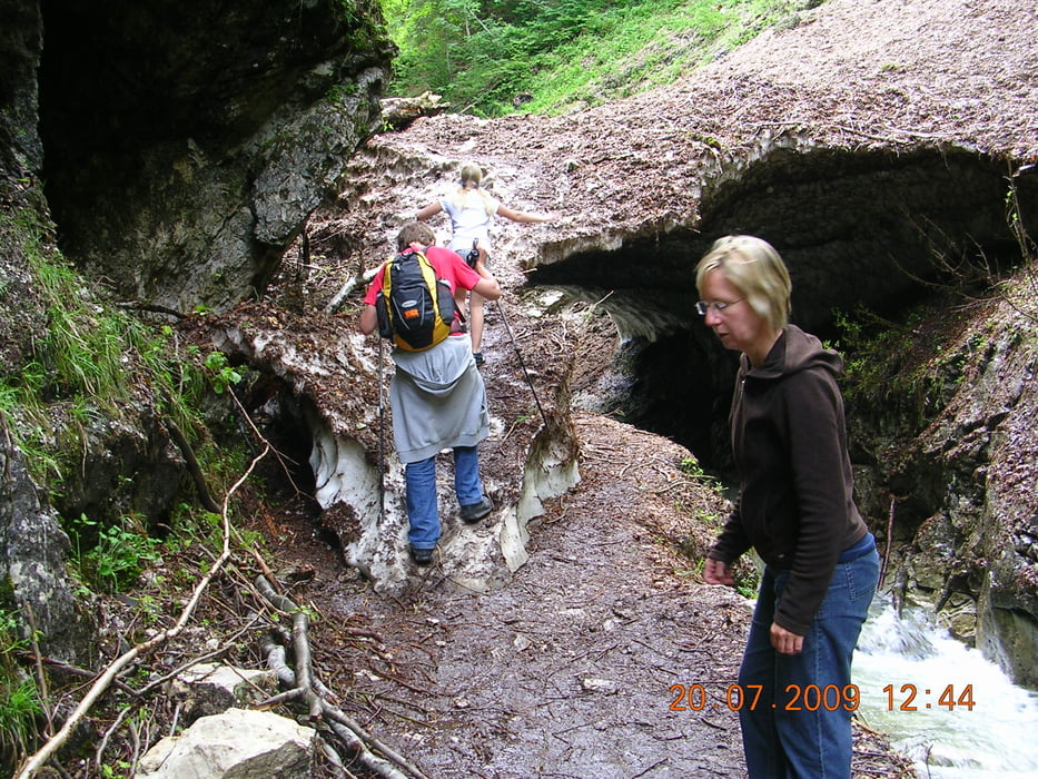
Eine wunderschöne kindgerechte Wanderung entlang der alten Holzzugstrecke. An Infotafeln kann man lesen, wie früher das Holz zu Tale gebracht wurde. Die Klamm ist wunderbar wild. Selbst im Hochsommer sind noch Schneereste vorhanden, die teilweise über den reißenden Bach hinwegreichen.
Die Harbachalm entschädigt dann mit Kuchen und Radler ... :-)
Viel Spaß beim Nachgehen!
Tour map and elevation profile
Minimum height 620 m
Maximum height 837 m
More about the tour author

|
ralfomat |
Comments

Weißbach
GPS tracks
Trackpoints-
GPX / Garmin Map Source (gpx) download
-
TCX / Garmin Training Center® (tcx) download
-
CRS / Garmin Training Center® (crs) download
-
Google Earth (kml) download
-
G7ToWin (g7t) download
-
TTQV (trk) download
-
Overlay (ovl) download
-
Fugawi (txt) download
-
Kompass (DAV) Track (tk) download
-
Track data sheet (pdf) download
-
Original file of the author (gpx) download
More about the tour author
|
|
ralfomat |
Add to my favorites
Remove from my favorites
Edit tags
Open track
My score
Rate