


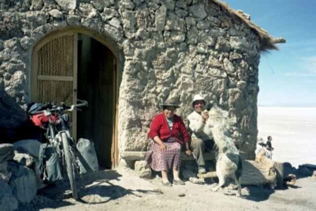
Eine Fahrt über den Salar ist ein unbeschreibliches Erlebnis. Man fährt zunächst 50 km von dem liebenswerten Dörfchen San Juan über miserable Wellblech- und Sandpiste nach Porta Chuvica. Dort beginnt die weiße Fahrradbahn, die so super rollt. Nach 43 km ist die Insel Inkawasi (Labe- und Übernachtungsstation)erreicht. Die Kakteen dort sind 1200 Jahre alt. Don Alfredo hält das goldene Buch für alle Radfahrer bereit. Am nächsten Tag geht's weiter über den Salar und anschließend durch das Gebiet, in dem der weltweit beste Quinoa angebaut wird. Ich empfehle jedem Radler einen mehrtägigen Aufenthalt im Salar, absolut traumhaft.
Tour gallery
Tour map and elevation profile
Minimum height 3585 m
Maximum height 3807 m
More about the tour author

|
Comments

Extrem schwere Piste von San Pedro de Atacama und Laguna Colorado nach San Juan. Etwas moderater über Chiu-Chiu und Ollague. Wer nur genießen will, macht die Anfahrt per Bus oder Jeep.
GPS tracks
Trackpoints-
GPX / Garmin Map Source (gpx) download
-
TCX / Garmin Training Center® (tcx) download
-
CRS / Garmin Training Center® (crs) download
-
Google Earth (kml) download
-
G7ToWin (g7t) download
-
TTQV (trk) download
-
Overlay (ovl) download
-
Fugawi (txt) download
-
Kompass (DAV) Track (tk) download
-
Track data sheet (pdf) download
-
Original file of the author (g7t) download
More about the tour author
|
|
Add to my favorites
Remove from my favorites
Edit tags
Open track
My score
Rate