


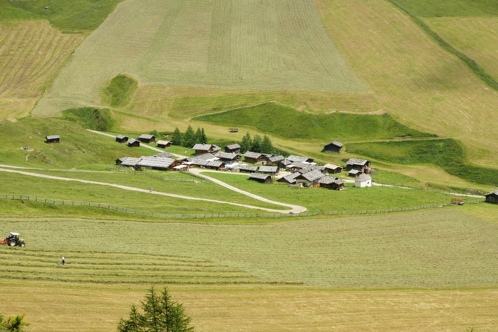
Die Tour beginnt an der Talstation in Vals. Von hier aus geht es als Erstes mit dem Lift hoch zur Bergstation. Der Abstieg erfolgt nun über die Rotensteinalm (2107m) und die Fane Alm (1739m) zurück nach Vals.
Wanderschuhe sind Pflicht. Tourenzeit ist nur eine Schätzung, Pausen und Almenaufenthalt inbegriffen.
Further information at
http://www.pustertal.org/Tour gallery

Tour map and elevation profile
Minimum height 1344 m
Maximum height 2302 m
More about the tour author
|
|
Zerberster |
Comments

Vom Brenner aus kommend in Richtung Rio di Pusteria fahren (Autobahnabfahrt Brixen). Dann den Abzweig nach Mühlbach nehmen und im Ort nach Meransen (Maranza) abbiegen. Nach ein paar Kilometern nach Vals abbiegen.
GPS tracks
Trackpoints-
GPX / Garmin Map Source (gpx) download
-
TCX / Garmin Training Center® (tcx) download
-
CRS / Garmin Training Center® (crs) download
-
Google Earth (kml) download
-
G7ToWin (g7t) download
-
TTQV (trk) download
-
Overlay (ovl) download
-
Fugawi (txt) download
-
Kompass (DAV) Track (tk) download
-
Track data sheet (pdf) download
-
Original file of the author (gpx) download
More about the tour author
|
|
Zerberster |
Add to my favorites
Remove from my favorites
Edit tags
Open track
My score
Rate