Login

Forgot your login?

Cookies have to be accepted!
Your browser's cookie functionality is disabled. Please enable this functionality.

Not a member yet?

Register now
Login

Available for registred users only

Log in to use this feature.

Forgot your login?

Cookies have to be accepted!
Your browser's cookie functionality is disabled. Please enable this functionality.

Not a member yet?

Register now
Filter
Categories
Advanced filters
  • Distance (km)
  • Height
Save filters Reset filter

TrackRank

QRCode

Technical data

Distance60,3 km Height2400 m Way down2391 m Duration00:00 h:m Date29.07.2009
Scores Author Landscape Fun factor Fitness Technique

Statistics

2388 Views Scores 314 Downloads Average
Rate
  • Track data sheet
  • Directions
  • Downloads

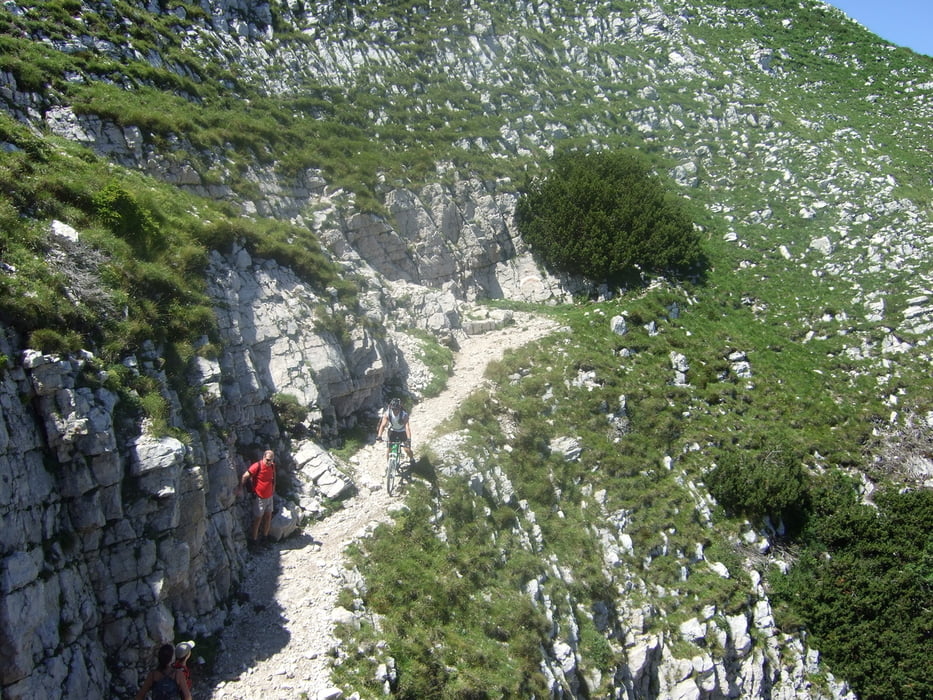
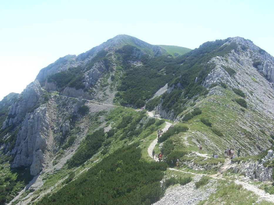
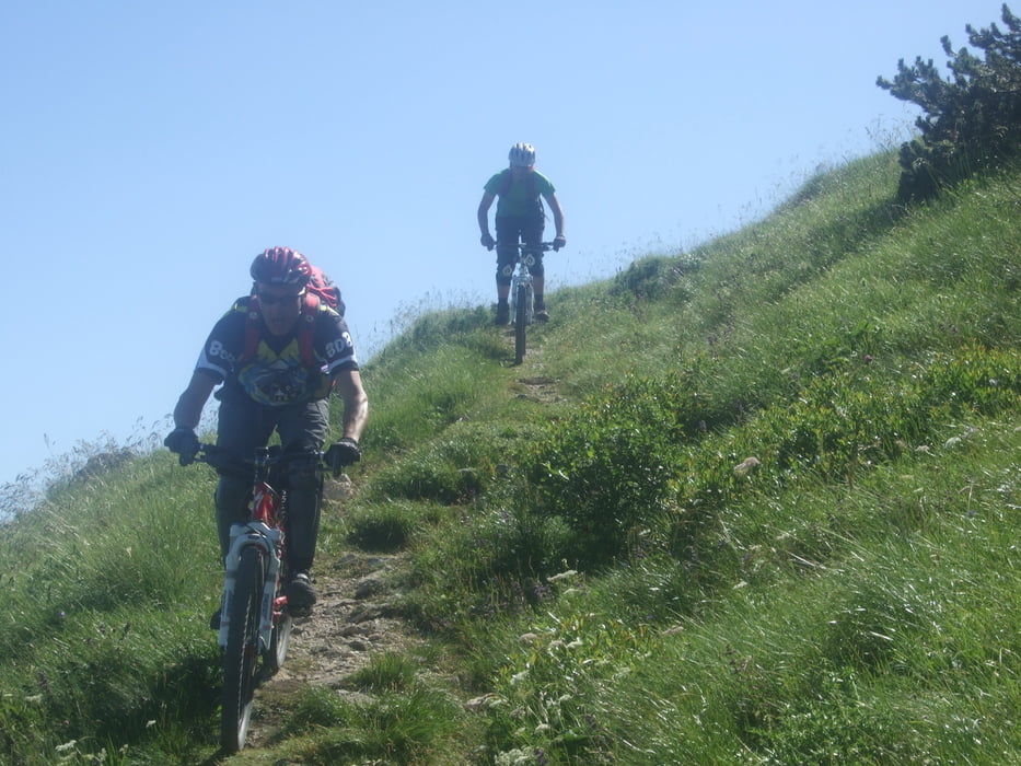
La salita è abbastanza facile ma dura per il sedere:), si sale sempre per sentieri, strade bianche è a piedi con bici in spalle per soli 10 min fino in cima del Telegrafo.

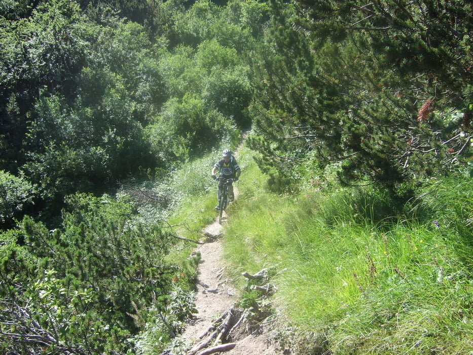
La discesa per i sentieri nr.657 e 660 è ripida, molto tecnica è con qualche punto delicata per i tanti sassi nel sentiero( ma solo nella prima parte) ma sempre bellissima, single track stupendi!!

Tour gallery

Tour map and elevation profile

  • Open Street Map
  • Google
Minimum height 105 m Maximum height 2193 m Detailed view

More about the tour author

Silvia_Arno
Member since 2009

Send private message

Comments

kurbler on 13.09.2009

nicht empfehlenswert

wer auf Mountainbike schieben steht bergauf wie bergab wird freude an der Tour haben. Ab 1800m bis 2200m und dann bis auf 1300m ist es zu 95% nicht fahrbar.
Silvia_Arno on 21.09.2009

tut mir echt Leid dass die Tour dir nicht gefallen hat, aber vielleicht hast du dir zu viel zugemutet?

wir waren eine groessere Gruppe, und alle sind fast immer im Sessel geblieben, das Rad schiebt man wenig.

Schau dir mal die Feedback von meinem Kollegen an.

http://itinerari.mtb-forum.it/tours/view/709

GPS tracks

Trackpoints
  • GPX / Garmin Map Source (gpx) download
  • TCX / Garmin Training Center® (tcx) download
  • CRS / Garmin Training Center® (crs) download
  • Google Earth (kml) download
  • G7ToWin (g7t) download
  • TTQV (trk) download
  • Overlay (ovl) download
  • Fugawi (txt) download
  • Kompass (DAV) Track (tk) download
  • Track data sheet (pdf) download
  • Original file of the author (gpx) download

More about the tour author

Silvia_Arno
Member since 2009

Send private message
Share track
Add to my favorites
Remove from my favorites
Edit tags
My score
Rate
Track: Punta Telegrafo con discesa su sent. 657 - 660
Type: Mountain bike
Distance: 60,3 km
Evaluated on:
Duration:
Day(s)
Hour(s)
Minute(s)
Score: Landscape Fun factor Fitness Technique