Login

Forgot your login?

Cookies have to be accepted!
Your browser's cookie functionality is disabled. Please enable this functionality.

Not a member yet?

Register now
Login

Available for registred users only

Log in to use this feature.

Forgot your login?

Cookies have to be accepted!
Your browser's cookie functionality is disabled. Please enable this functionality.

Not a member yet?

Register now
Filter
Categories
Advanced filters
  • Distance (km)
  • Height
Save filters Reset filter

TrackRank

QRCode

Technical data

Distance61,2 km Height845 m Way down844 m Duration04:30 h:m Date30.07.2009
Scores Author Landscape Fun factor Fitness Technique

Statistics

3614 Views Scores 478 Downloads Average
Rate
  • Track data sheet
  • Directions
  • Downloads
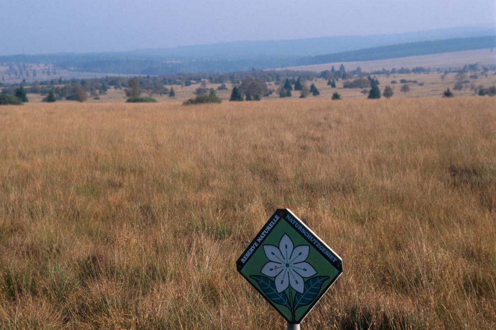
Kombination der schoensten GPS Routen im Hohen Venn.
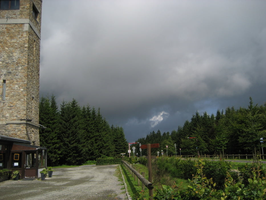
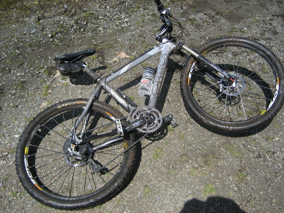
Tour gallery

Tour map and elevation profile

  • Open Street Map
  • Google
Minimum height 357 m Maximum height 695 m Detailed view

More about the tour author

vriesxj
Member since 2008

Send private message

Comments

Start Camping du Moulin bei Malmedy oder von der Monschauer Landstrasse. Adresse: Naturzentrum Ternell, Ternell 2-3, B-4700 Eupen


GPS tracks

Trackpoints
  • GPX / Garmin Map Source (gpx) download
  • TCX / Garmin Training Center® (tcx) download
  • CRS / Garmin Training Center® (crs) download
  • Google Earth (kml) download
  • G7ToWin (g7t) download
  • TTQV (trk) download
  • Overlay (ovl) download
  • Fugawi (txt) download
  • Kompass (DAV) Track (tk) download
  • Track data sheet (pdf) download
  • Original file of the author (gpx) download

More about the tour author

vriesxj
Member since 2008

Send private message
Share track
Add to my favorites
Remove from my favorites
Edit tags
My score
Rate
Track: MTB Hohes Venn
Type: Mountain bike
Distance: 61,2 km
Evaluated on:
Duration:
Day(s)
Hour(s)
Minute(s)
Score: Landscape Fun factor Fitness Technique