Login

Forgot your login?

Cookies have to be accepted!
Your browser's cookie functionality is disabled. Please enable this functionality.

Not a member yet?

Register now
Login

Available for registred users only

Log in to use this feature.

Forgot your login?

Cookies have to be accepted!
Your browser's cookie functionality is disabled. Please enable this functionality.

Not a member yet?

Register now
Filter
Categories
Advanced filters
  • Distance (km)
  • Height
Save filters Reset filter

TrackRank

QRCode

Technical data

Distance98,5 km Height681 m Way down634 m Duration00:00 h:m Date30.07.2009
Scores Author Landscape Fun factor Fitness Technique

Statistics

799 Views Scores 68 Downloads Average
Rate
  • Track data sheet
  • Directions
  • Downloads

sehr leichte Tour

für Familien gut geeignet

hauptsächlich auf Radwegen

Der Weg auf dem Vizinalbahnradweg nach Tirschenreuth und wieder ein Teilstück zurück wurde von uns deshalb gewählt, weil in Wiesau kein Radfahrer-geeignetes-Gasthaus gefunden wurde.

Einkehrmöglichkeiten: Zainhammer

                                          Tirschenreuth-Marktplatz (mehrere Lokale)

Abstecher auf dem Vizinalbahnradweg Richtung Mitterteich möglich - hier Einkehrmöglichkeit am Finkenstich
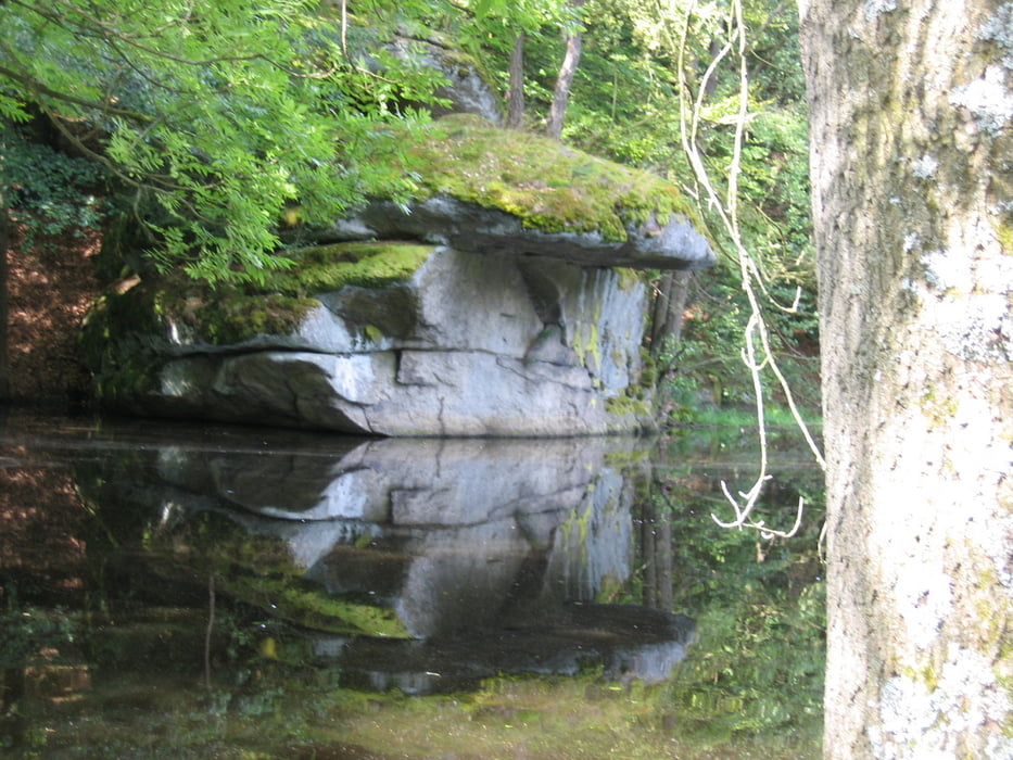
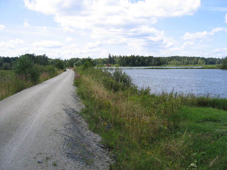
 

Tour gallery

Tour map and elevation profile

  • Open Street Map
  • Google
Minimum height 431 m Maximum height 561 m Detailed view

More about the tour author

giovanni
Member since 2008

Send private message

Comments

GPS tracks

Trackpoints
  • GPX / Garmin Map Source (gpx) download
  • TCX / Garmin Training Center® (tcx) download
  • CRS / Garmin Training Center® (crs) download
  • Google Earth (kml) download
  • G7ToWin (g7t) download
  • TTQV (trk) download
  • Overlay (ovl) download
  • Fugawi (txt) download
  • Kompass (DAV) Track (tk) download
  • Track data sheet (pdf) download
  • Original file of the author (gpx) download

More about the tour author

giovanni
Member since 2008

Send private message
Share track
Add to my favorites
Remove from my favorites
Edit tags
My score
Rate
Track: Steinwald-Vizinalbahn-Radweg
Type: Trekkingbike
Distance: 98,5 km
Evaluated on:
Duration:
Day(s)
Hour(s)
Minute(s)
Score: Landscape Fun factor Fitness Technique