


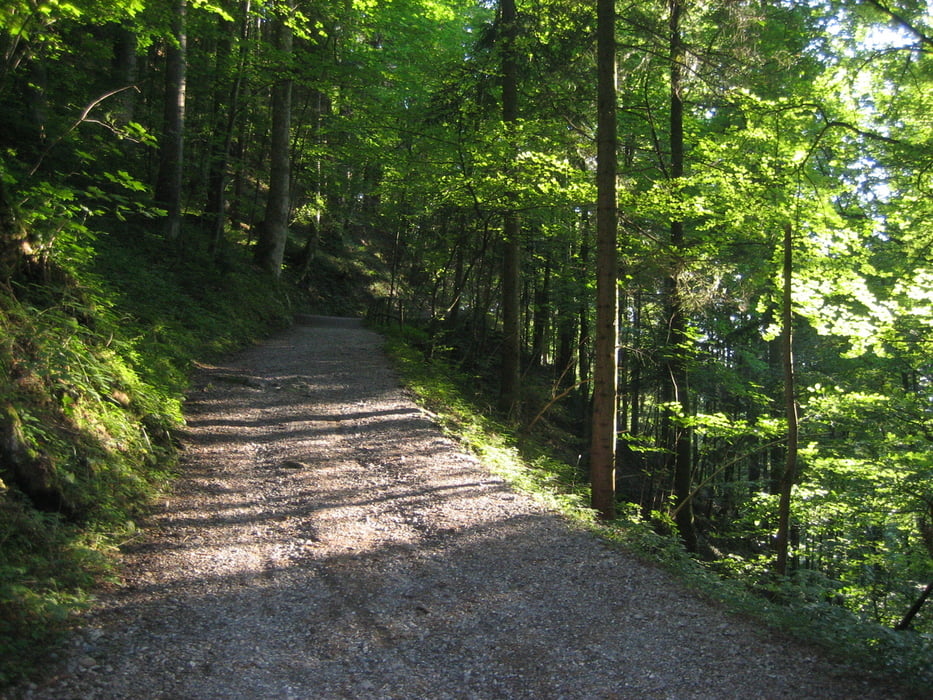
Auf der Straße geht es von Schwarzach Richtung Wolfurt und Buch. In Alberschwende fahren wir den Achrain bis zum Sternen Pub raus. Links weg nach Jennen und dann Stüben. In Stüben eine links rechts links Kombination. Bödelestraße überqueren (unten durch) Kehleggerrank rechts runter nach Dornbirn. Zurück nach Schwarzach am Bahngleis entlang. Tour hat ca. 5km Waldweg (Kies).
Bewirtung:
Kaffees und Gaststätten in Alberschende Zentrum, eigene Riegel :-)
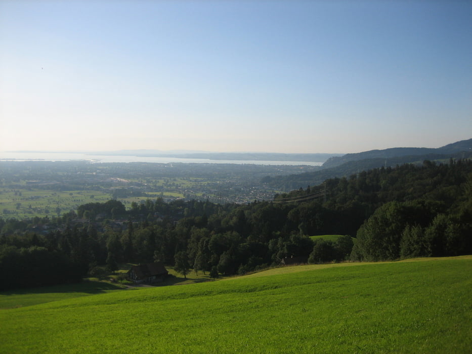
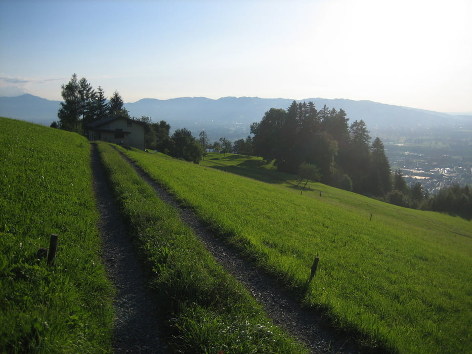
Tour gallery
Tour map and elevation profile
Minimum height 416 m
Maximum height 734 m
More about the tour author

|
kle6611 |
Comments

Österreich: Autobahn A14, Dornbirn Nord ausfahren, Kreisverkehr grade aus, Richtung Bregenzerwald und Schwarzach, vor Tunnen links, Start in Schwarzach bei der Kirche
GPS tracks
Trackpoints-
GPX / Garmin Map Source (gpx) download
-
TCX / Garmin Training Center® (tcx) download
-
CRS / Garmin Training Center® (crs) download
-
Google Earth (kml) download
-
G7ToWin (g7t) download
-
TTQV (trk) download
-
Overlay (ovl) download
-
Fugawi (txt) download
-
Kompass (DAV) Track (tk) download
-
Track data sheet (pdf) download
-
Original file of the author (gpx) download
More about the tour author
|
|
kle6611 |
Add to my favorites
Remove from my favorites
Edit tags
Open track
My score
Rate