


Die Tour beginnt und endet in Aurach am Hongar
>Kasten-Hongar bis zum oberen Parkplatz-rechts Richtung Gahberg. Am Gahberg angekommen
links auf der Asphaltstraße Richtung Schaffling-Kreuzing.Kurz vor der Kreuzing-Alm (Einkehrmöglichkeit) rechts in einen Waldweg folgen der kurz darauf in einen Trail mündet. (Peter Weg) Später kommt man bei einer Forststraße raus die ins Bach-Tal mündet,
dort links am Weyregger Bach aufwärts zur Klausstube-Schwarzenbachsttel rechts Richtung Dufteck.Bei einer Jagdhütte angekommen links halten! Wo die Forststraße endet geht links ein
Trail runter nach Dörfl.Asphaltstraße runter nach Wessenaurach weiter der Aurachtalstraße bis zum Tierpräparator,da links rauf zum Kronberg und Richtung Hongar mündeten Waldweg.Beim ersten Materl links beim Zweiten rechts einen Trail folgend nach Kasten und zum Ausgangspunkt!
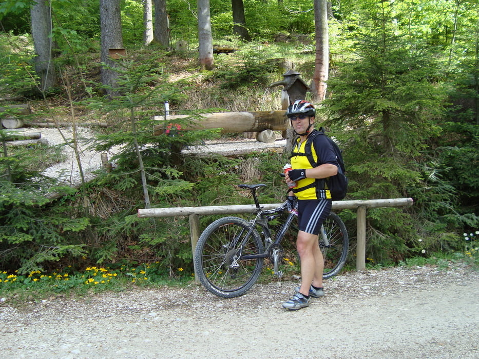
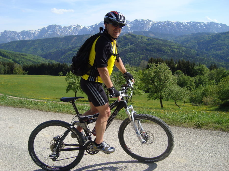
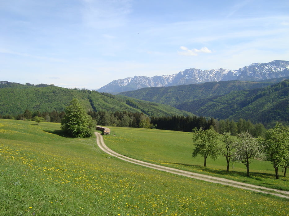
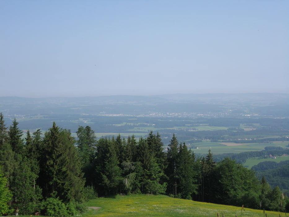
Tour gallery
Tour map and elevation profile
Minimum height 483 m
Maximum height 905 m
More about the tour author
|
|
rudolfo |
Comments

GPS tracks
Trackpoints-
GPX / Garmin Map Source (gpx) download
-
TCX / Garmin Training Center® (tcx) download
-
CRS / Garmin Training Center® (crs) download
-
Google Earth (kml) download
-
G7ToWin (g7t) download
-
TTQV (trk) download
-
Overlay (ovl) download
-
Fugawi (txt) download
-
Kompass (DAV) Track (tk) download
-
Track data sheet (pdf) download
-
Original file of the author (gpx) download
More about the tour author
|
|
rudolfo |
Add to my favorites
Remove from my favorites
Edit tags
Open track
My score
Rate