


Mit dem MTB den Rundweg "R" Rund um Remscheid.
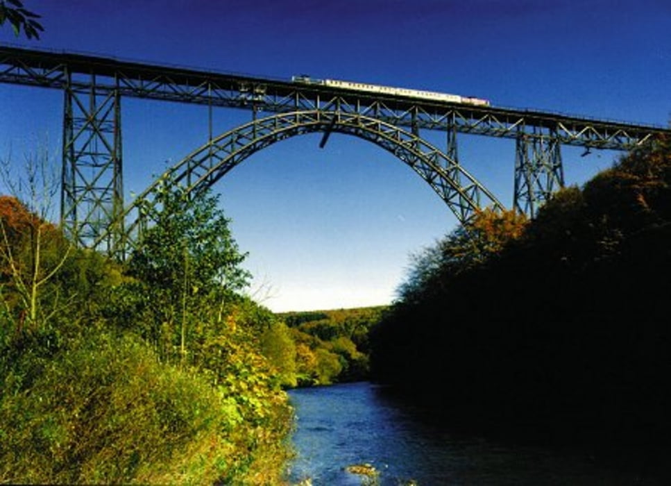
Wir sind in Wuppertal gestartet. Man kann aber auch auf den Parkplätzen an der Müngstner Brücke starten und den Track von dort anschalten.
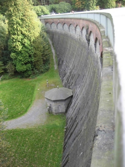
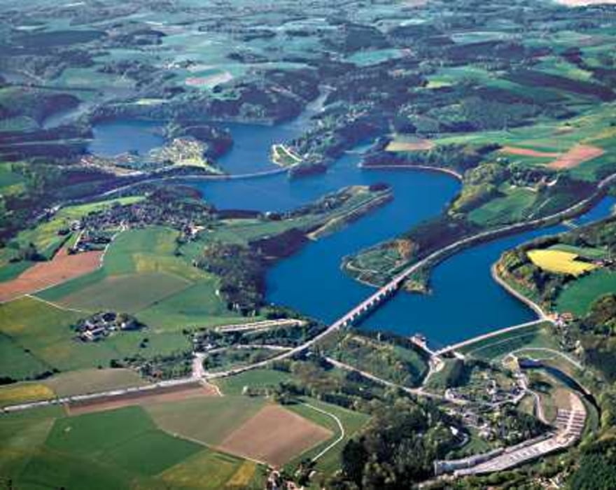
Die Strecke folgt dem Röntgenweg durch Wälder und wiesen rund um Remscheid. So fährt man durch das Morsbachtal, kommt an der Wuppertalsperre, dem Eschbachtal und der Müngstner Brücke vorbei.
Technisch zu 90% leicht bis mittel schwer. Zwischendrin sind ein paar knackige Berge, damit man auf seine Höhenmeter kommt. Diese sind allerdings dann recht kurz. Ganzheitlich hat man schnell zu fahrende Passagen.
Landschaftlich bekommt man einiges geboten.
Tour gallery
Tour map and elevation profile
Minimum height 107 m
Maximum height 344 m
More about the tour author
|
|
dali-sg |
Comments

Parken an der Müngstner Brücke Solingen/Remscheid/Wuppertal
GPS tracks
Trackpoints-
GPX / Garmin Map Source (gpx) download
-
TCX / Garmin Training Center® (tcx) download
-
CRS / Garmin Training Center® (crs) download
-
Google Earth (kml) download
-
G7ToWin (g7t) download
-
TTQV (trk) download
-
Overlay (ovl) download
-
Fugawi (txt) download
-
Kompass (DAV) Track (tk) download
-
Track data sheet (pdf) download
-
Original file of the author (gpx) download
More about the tour author
|
|
dali-sg |
Add to my favorites
Remove from my favorites
Edit tags
Open track
My score
Rate